
Thai Geography
Understanding Thailand means reading its geography: the mountainous North, the arid Isan region, the fertile Central Plains and the South facing beaches, islands and tropical seas.
Formerly called the Kingdom of Siam, Thailand is a continental country located in the central region of Southeast Asia. It is part of the Indochinese Peninsula.
Geographical situation
Thailand is surrounded by two maritime coasts: the Andaman Sea to the west and the Gulf of Thailand opening onto the South China Sea to the east. It covers 514,000 km², including 3,219 km of coastline. It shares borders with Myanmar (Burma) to the west, Laos to the northeast, Cambodia to the east and Malaysia to the south. Its shape is drawn like an elephant's head with a gaze turned towards Burma.
Thai Islands
Off its coasts, Thailand boasts approximately 85 islands, of which only about ten are significantly populated. Among these ocean pearls, Phuket, which is a province in its own right, is Thailand's largest island. It dominates the west coast of the Thai Isthmus across 810 km². After Koh Chang, Koh Samui takes third place. Located off the southeast coast, it spans approximately 250 km².
Thailand's Relief
Considering its terrain, Thailand is divided into four distinct regions generally characterized by high mountains, plains and elevated plateaus. In the north, the Kingdom of Siam is dominated by high mountains including Doi Inthanon, the highest peak rising to over 2,590 meters above sea level. The mountains extend along the border with Burma through the Kra Isthmus and the Malay Peninsula. Northern Thailand encompasses around 15 provinces, the most famous being Mae Hong Son, Phetchabun, Chiang Mai and Chiang Rai. The northeast, called the Isan region, is a harsh yet fascinating area. The provinces of Nong Khai, Udon Thani, Buri Ram and Surin feature on this part of Thailand's map. They are considered the country's poorest provinces as they are separated from the great plain by the Petchabun Mountain Range. They form primarily the arid Khorat Plateau. The central region, including Nakhon Sawan, Uthai Thani, Bangkok metropolis and Saraburi, is marked by a wide fertile basin well watered by the Chao Phraya River. This is why it is often called "the rice bowl of Asia". Rivers are abundant here, soils are rich in minerals and the climate is conducive to rice cultivation. The Bangkok region sits just a few kilometers from the mouth of this river. The southern part of the country is home to Thailand's finest beaches, thus promoting remarkable development of the region's tourism sector. Southern Thailand includes the province of Surat Thani, Narathiwat, Phatthalung and Phetchaburi. Here you'll find the magnificent beaches of Hua Hin and Phuket. Yet, across its remaining terrain, such as Krabi Province, this region is favorable for palm cultivation and rubber production.
Hydrology
Thailand's hydrology encompasses the Mun and Chao Phraya rivers and their tributaries flowing into the northern Gulf of Thailand, between the central and western mountains. Along with the Mekong, these rivers form the country's largest water reserves as they alone drain most of Thai territory. The Chao Phraya irrigates one-third of the territory while the Mun waters the Khorat Plateau before joining the Mekong. Originating from northern mountains, this river gives rise to numerous confluences including the Ping, Yom and Nan rivers. With the Chao Phraya, the Mekong forms the foundation of Thailand's economy. This great river originates in Tibet and flows through the northern part of the country after China and Laos. It is the 8th longest river in the world and the 3rd in Asia. It also feeds Songkhla Lake, the country's most important body of water.
Frequently asked questions
Phuket is Thailand's largest island with an area of 810 km². It constitutes a province in its own right on the west coast.
Thailand has approximately 85 islands, but only about ten are significantly populated, including Phuket, Koh Chang and Koh Samui.
Doi Inthanon is the country's highest peak, rising to 2,590 meters above sea level in the northern mountains.
Thailand is divided into 4 regions: the mountainous North, the northeast (Isan), the Central Plains with their fertile lands, and the South with its beaches.
Also discover
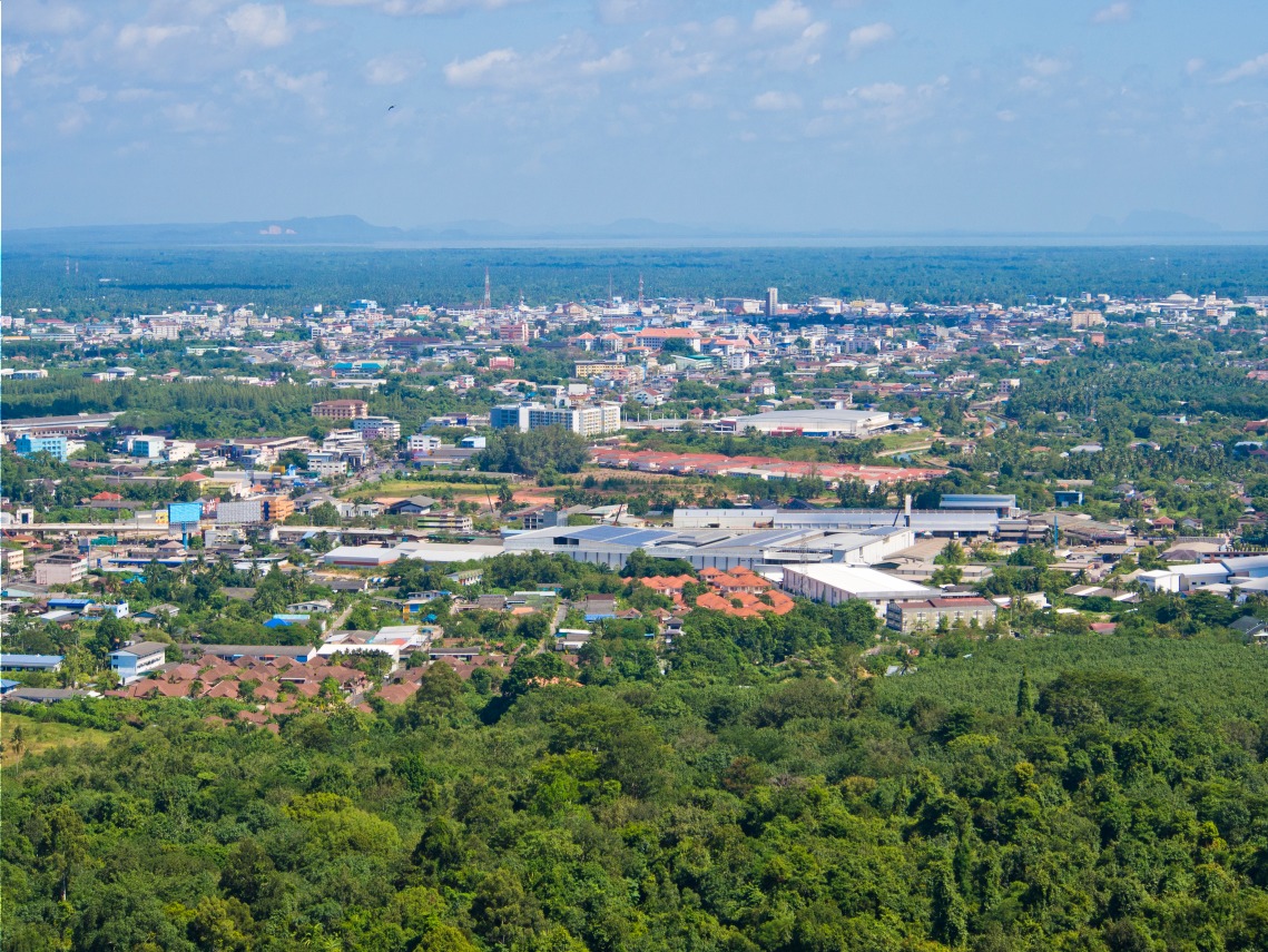
Surat Thani
Surat Thani, the provincial capital of southern Thailand, is far more than a gateway to Koh Samui: Srivijaya temples, Bandon Bay and a living Buddhist heritage.
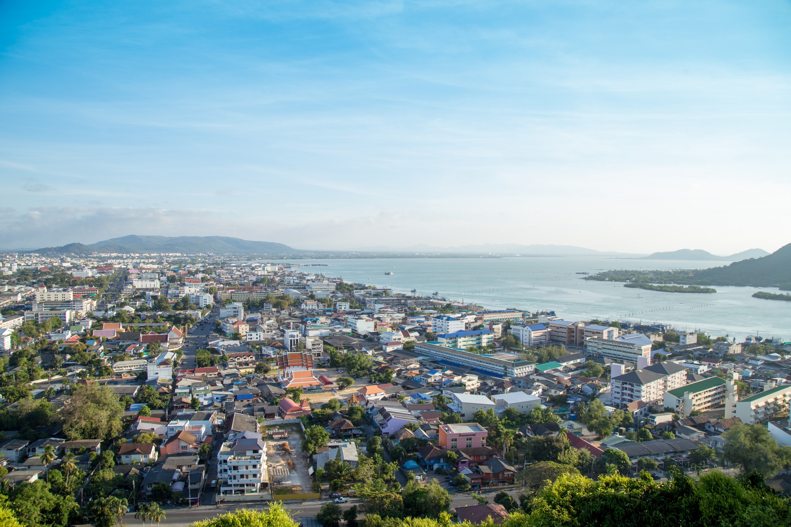
Songkhla
Between an immense lake and the Gulf of Thailand, Songkhla cultivates a rare charm: beaches, an eclectic old town, and lagoons dotted with islets to explore by boat.
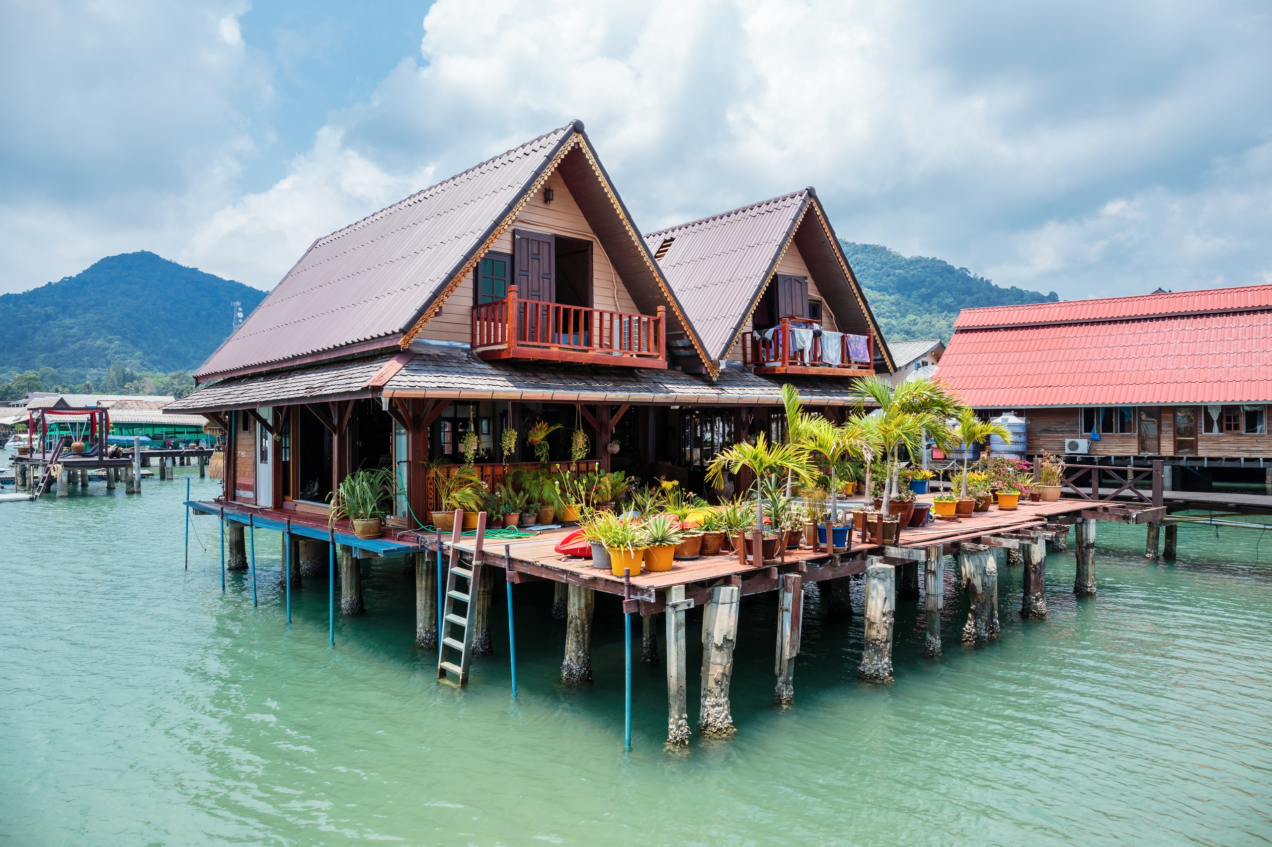
Koh Chang
Koh Chang, Thailand's third-largest island, retains an authentic character: dense jungle, pristine beaches, and coral reefs still relatively untouched by mass tourism.
