GR54: 13 Days on the Mythical Grand Tour of the Écrins
13 days, 180 km, the peaks of the Écrins as the GR54 horizon.
Duration
13 days
From
€1,300/pers.
Ideal seasons
Jun, Jul, Aug, Sep
Style
Itinerant travel
Comfort
rustique
Travelers
Solo, With friends, Couple
The spirit of travel
An unforgettable sports and human adventure! You will set off for 2 weeks of bivouacking on one of the most beautiful treks in France led by Captain Cyril.
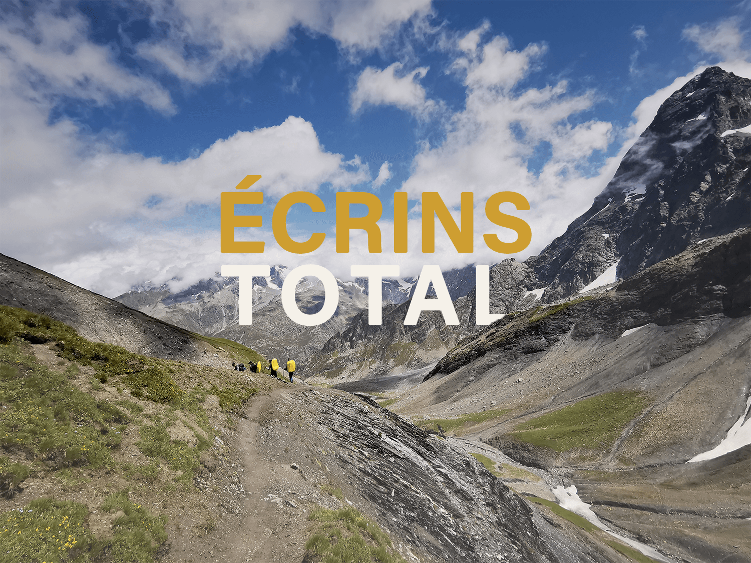
A circuit in total autonomy where each day brings new landscapes. Nights under the stars, waking up in the heart of nature, crossing typical villages of the Écrins to stock up on food, we will experience total immersion in these mythical mountains.
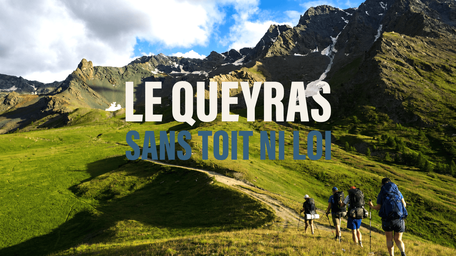
The effort is intense but the disconnection is all the stronger for it. In the heart of the Parc national des Écrins, the GR 54 traces a splendid 13-day trek passing at the foot of the highest peaks of the massif (La Meije, Les Agneaux, Le Sirac, La Muzelle to name but a few). An exceptional itinerary if ever there was one, it remains however accessible to any good hiker in excellent physical condition.
Fully accessible by public transport via Grenoble TGV station.
🌱 This trip has a reduced carbon footprint. By choosing it, you support sustainable tourism, respectful of nature, territories and the local economy — a simple and committed approach, driven by the human and professional approach of our agency.
The stages of your journey
Highlights
The adventure region
Ecrins
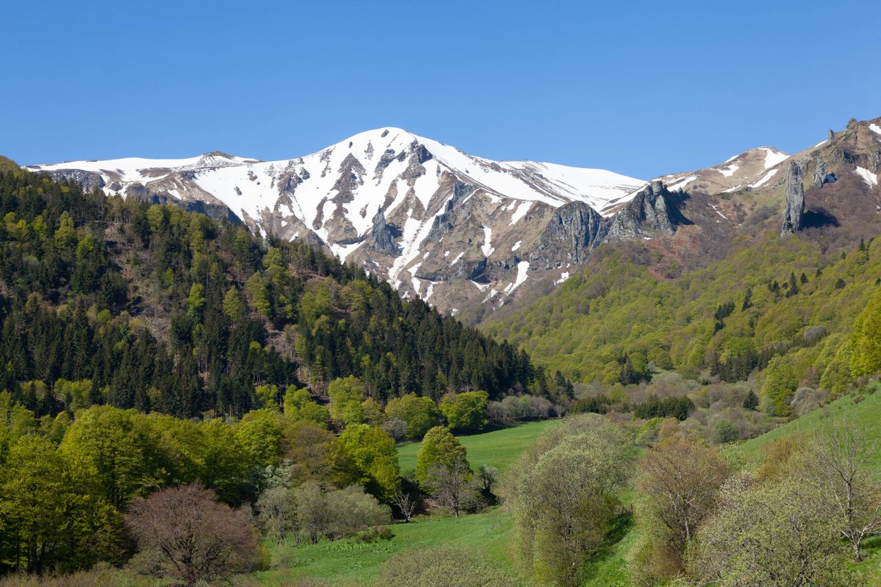
Cap sur les Alpes du Sud : une montagne lumineuse, plus minérale, plus “grand ciel”, avec des paysages qui sentent déjà le sud. Ici, la lumière a quelque chose de spécial : elle accroche les crêtes
Discover Alpes du sud →Day-by-day itinerary
The Grand Departure
Grenoble → Parc national des Écrins
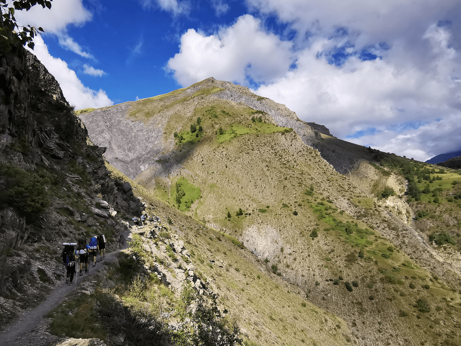
It's the big departure for 13 days of mountain trekking! There's no point in rushing a trek, you need to take it easy! First stage with a crossing of the typical village of Mizoën, a splendid balcony path and a first magnificent bivouac spot to set the mood.
Hiking info: Elevation gain 560m / Elevation loss 80m / Distance 6 km / Effective walking time 3 h
The Clots - Emparis Plateau
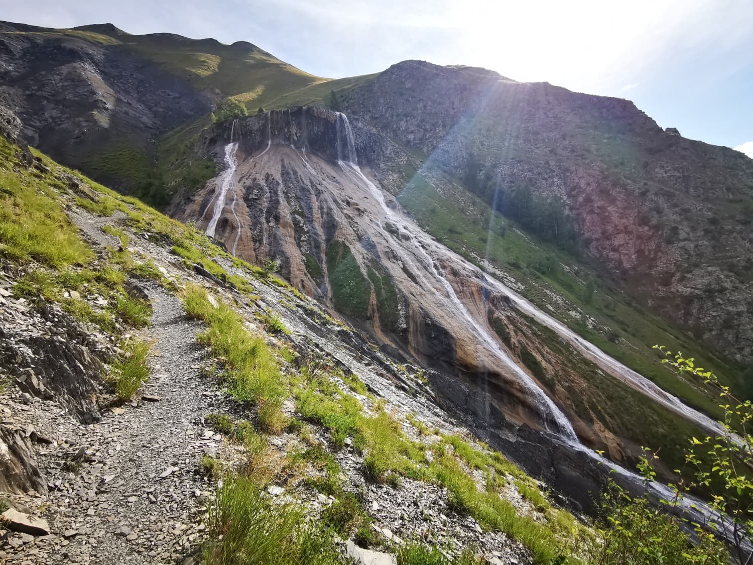
Second day and already a mythical stage of the GR54. We will start our climb to the Plateau d'Emparis passing by the impressive petrifying spring. This is one of the most beautiful geological formations in the Oisans. The evening bivouac by the lake is magical with a breathtaking view of the Meije, a mythical peak where many renowned alpinists have met their match!
Hiking info: Elevation gain 1020m / Elevation loss 100m / Distance 7.5 km / Effective walking time 5h
Emparis Plateau - Arsine Pass
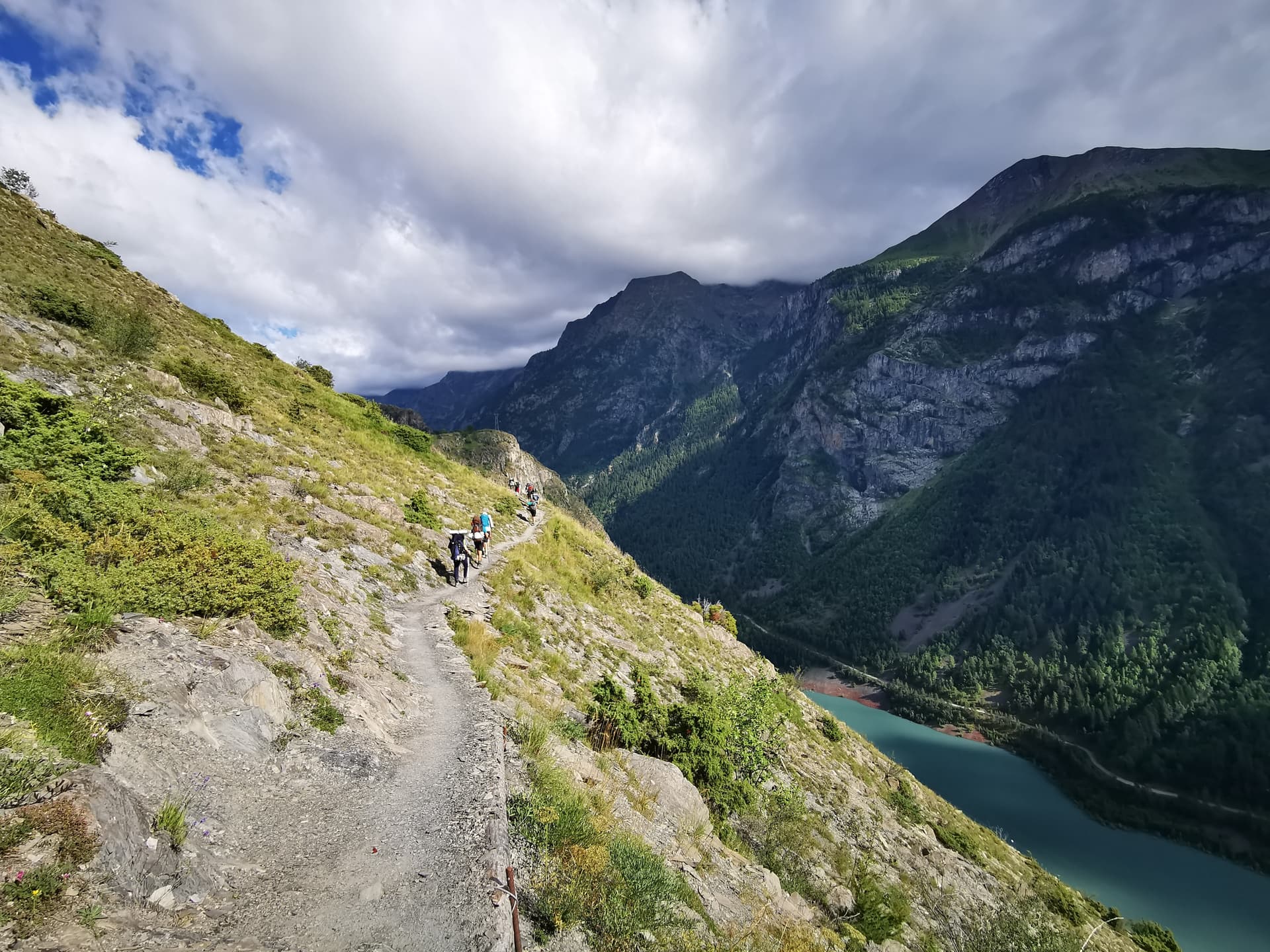
One of the longest stages of the trek awaits us today. The variety of landscapes is impressive on this day. From the steppes of the Emparis Plateau to the alpine grasslands of Arsine passing through the tumultuous waters of the Romanche or even the typical architecture of La Grave, we will feast our eyes. Another bivouac at over 2000 m altitude tonight. That's it, we've found our cruising pace on this trek!
Hiking info: +1130m / -1220m / Distance 24 km / Effective walking time 9h
Arsine Pass - Eychauda Pass
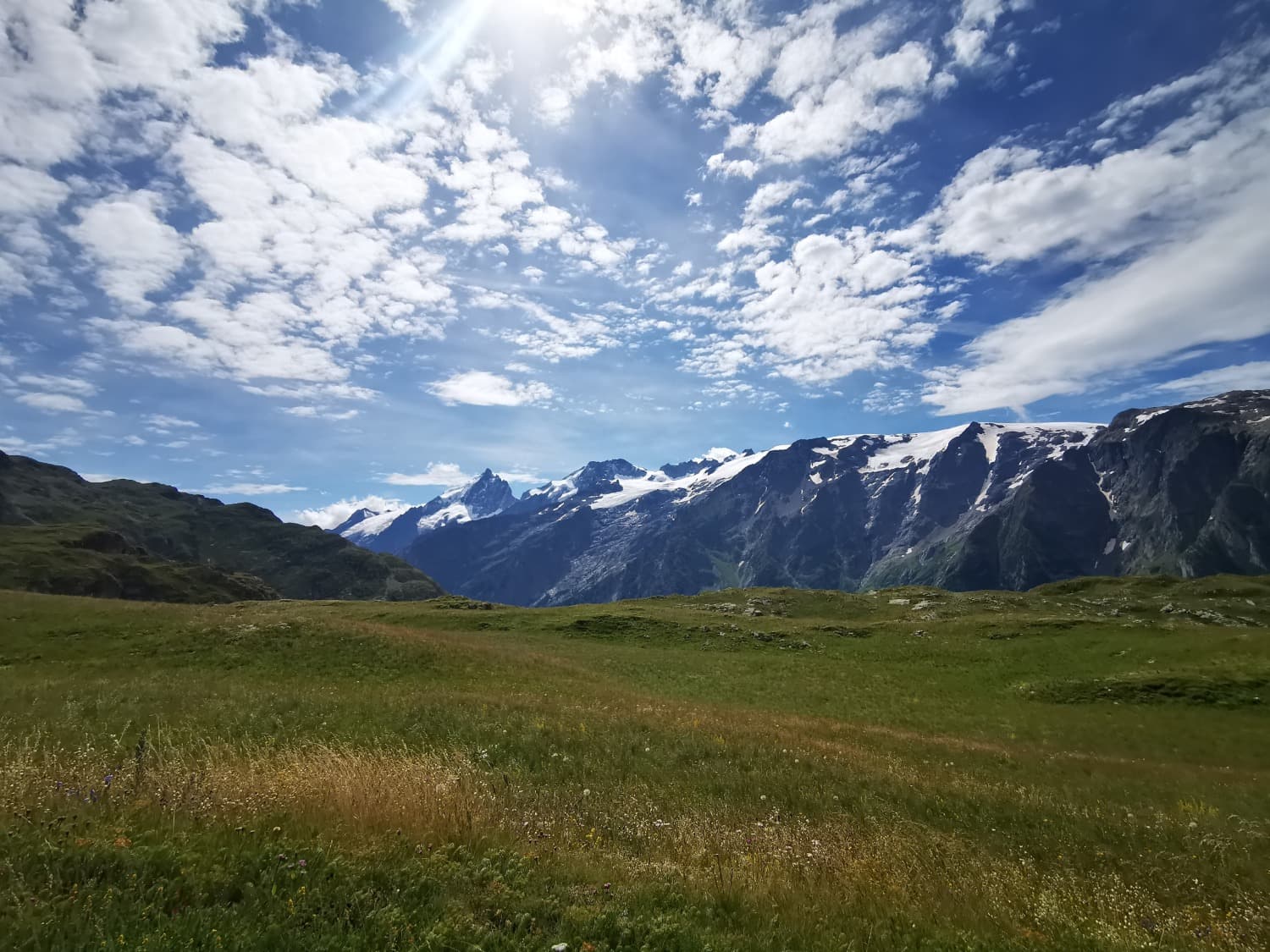
From one pass to another! We are switching to the Guisane valley today by crossing the Casset village. A brief passage through civilization before climbing back into the mountains to reach our evening bivouac spot. The immersion in this wild environment is powerful. While day hikers head back down, we are preparing to spend another night under the stars with chamois and ibex as our hosts.
Hiking info: Elevation gain 950m / Elevation loss 930m / Distance 16 km / Effective walking time 7h
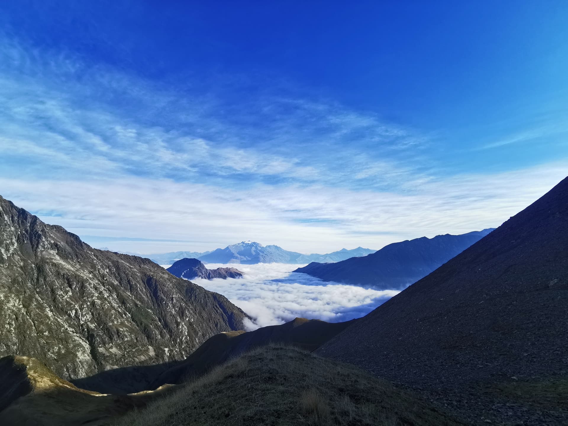
Col de l'Eychauda - Between the Waters
A stage that crosses the charming village of Vallouise. Perfect transition between the North and South sections of the Grand Tour des Écrins. Another opportunity to stock up on supplies with of course some good local products. Our evening bivouac is, for once, in the heart of a wild valley.
Hiking info: D+ 500m / D- 1250m / Length 21 km / Effective walking time 7h
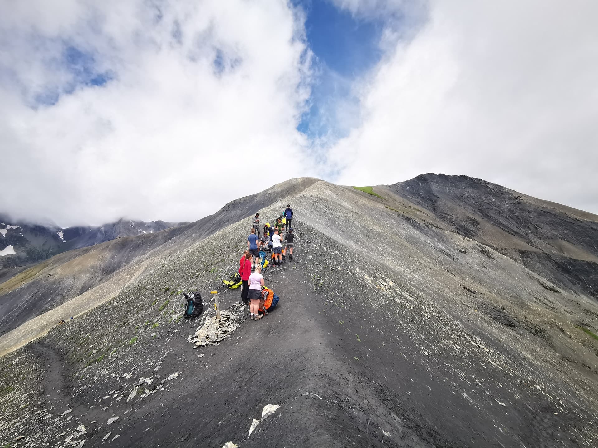
Between the Aigues - Pré de le Chaumette
The most alpine and wild stage of the GR54. We pass the highest pass of our trek at 2761 m altitude. But for this 6th day, you will see that bodies are well-conditioned and the efforts will be amply rewarded by unique panoramas. The mineral atmosphere should not make you forget that there is life here. Flora and fauna have perfectly adapted to this hostile environment that welcomes us ephemally today. We are clearly in a world apart and when night falls, you are likely to have plenty of images in your head...
Hiking info: D+ 1190m / D- 990m / Distance 16.5 km / Effective walking time 8h
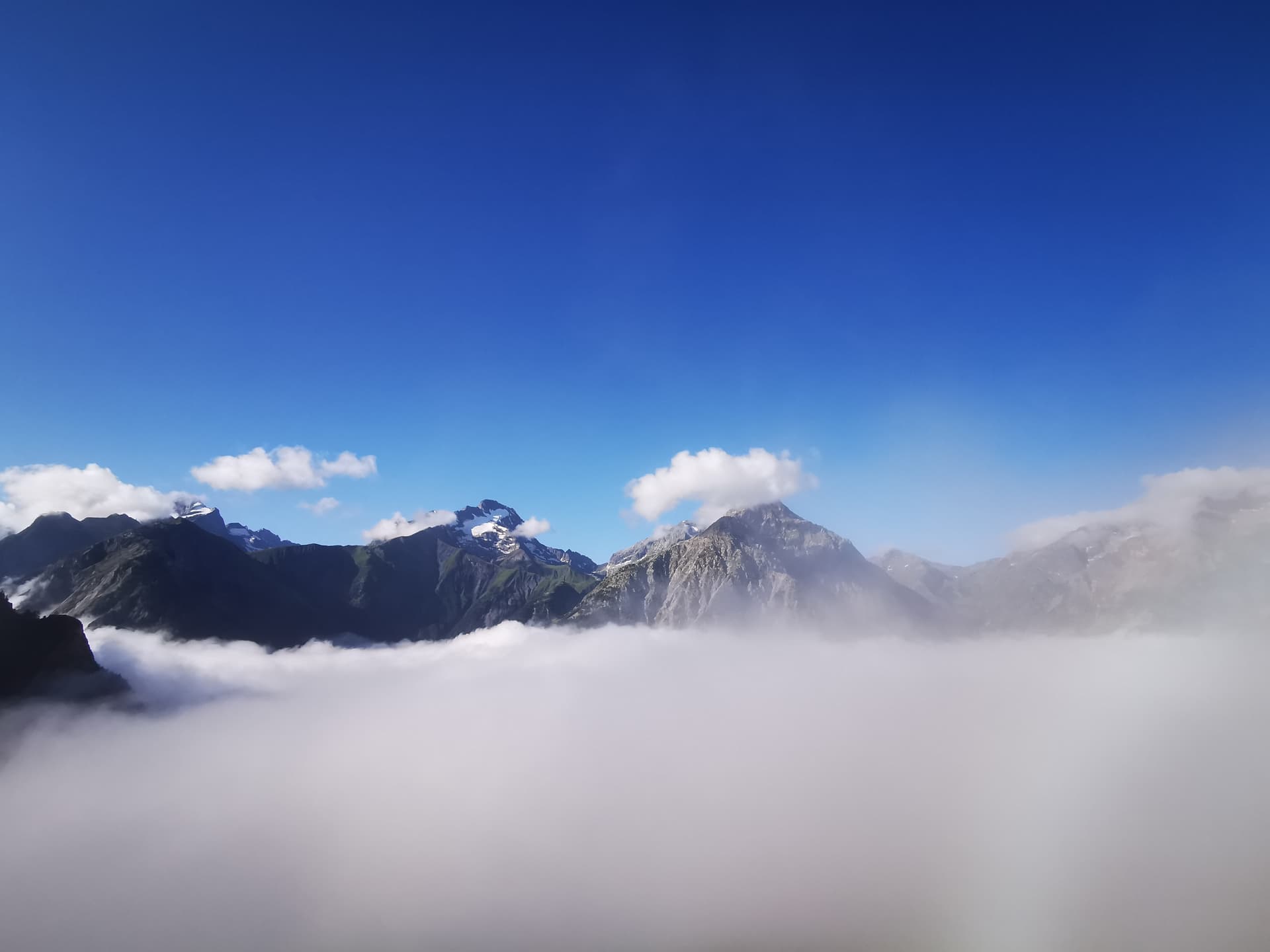
Pré de le Chaumette - Vallonpierre
The green Pré de la Chaumette welcomed us this night. Now it's time to cross the 3 passes of the day. A beautiful day at the foot of the southernmost of the great peaks of the Écrins, Sirac watches over us from its height of 3441 meters. Today, it's a red blood cells day! You just have to look at the altimeter, we will spend most of the day above 2400 m altitude without ever dropping below 2200 m.
Hiking info: D+ 1150m / D- 680m / Distance 10.5 km / Effective walking time 6h
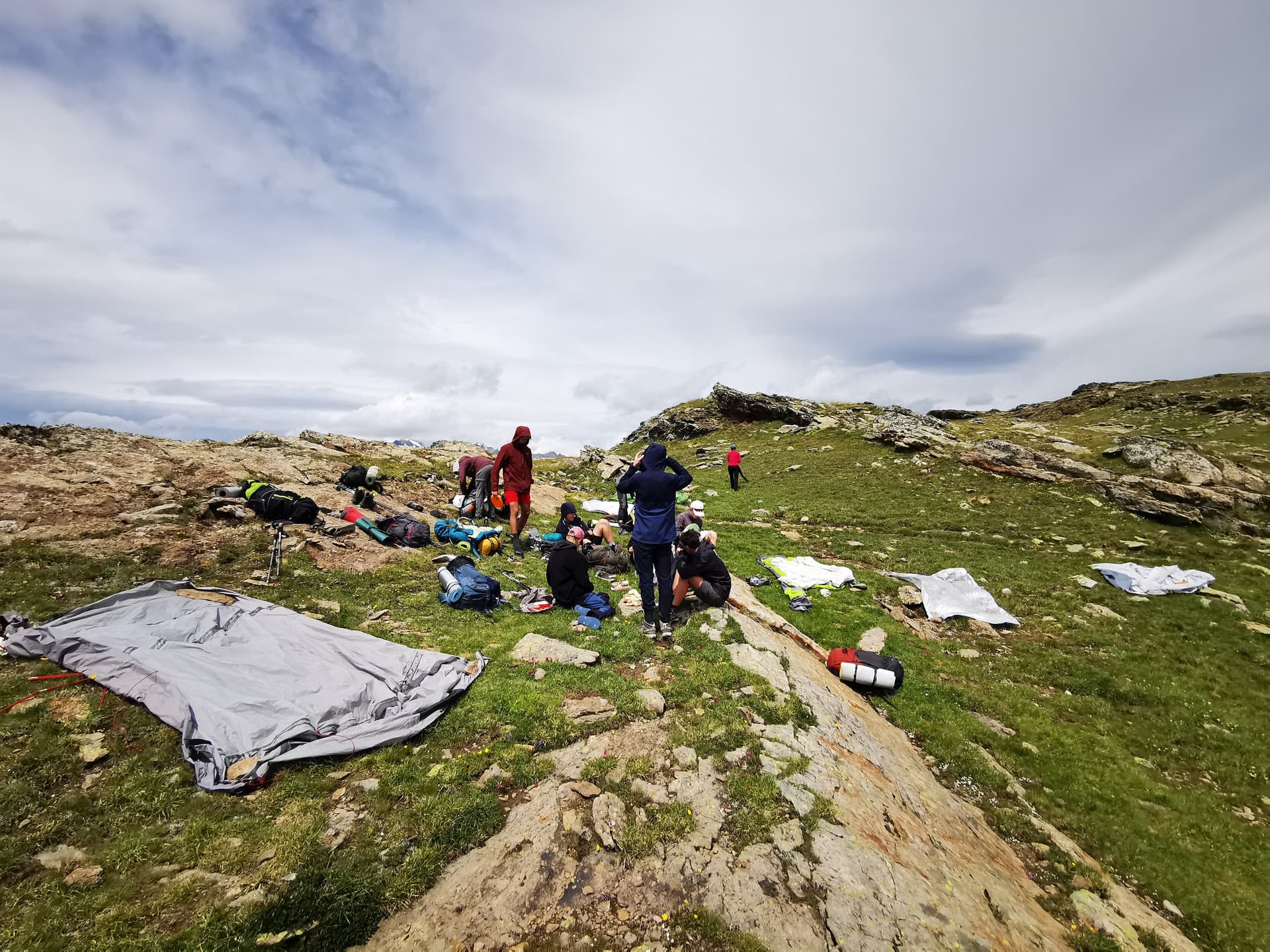
Vallonpierre - La Chapelle en Valgaudémar
We're coming down from the clouds today! A day with 99% descent. We'll reach the village of la Chapelle en Valgaudémar after following the refreshing waters of the Séveraisse. Back to the world of humans after 3 days in the high mountains, you'll almost be surprised to find people again!
Hiking info: Elevation gain 100m / Elevation loss 1300m / Distance 15 km / Effective walking time 5h
The Chapel in Valgaudémar - Périnon
The return to the valley will not last long! Today's stage is the perfect opposite of yesterday's. Almost entirely uphill today, we will camp again beyond 2000 m. It's as if we're no longer suited to the world below! We will certainly cross the shepherds' path and that of their herds. Because yes, human activity is still present in the mountains. The bells and bleating of sheep may even serve as our alarm clock the next morning...
Hiking info: Elevation gain 1150m / Elevation loss 150m / Distance 12 km / Actual walking time 6h
Périnon - The Desert in Valjouffrey
The Col de la Vaurze will be our highest point of the day. Then a magnificent descent towards the Désert in Valjouffrey. Yet another new valley in this Grand Tour of the Ecrins, with yet more different landscapes. Already our 10th day of trekking and yet you will be surprised once again by the variety of atmospheres encountered. The Désert is a village that breathes the mountain life of yesteryear. The inhabitants are proud of their heritage and have chosen to stay and live here despite the isolation.
Hiking info: D+ 430m / D- 1230m / Distance 7.5 km / Effective walking time 4h
The Desert in Valjouffrey - Valsenestre
Parc national des Écrins → Parc national des Écrins
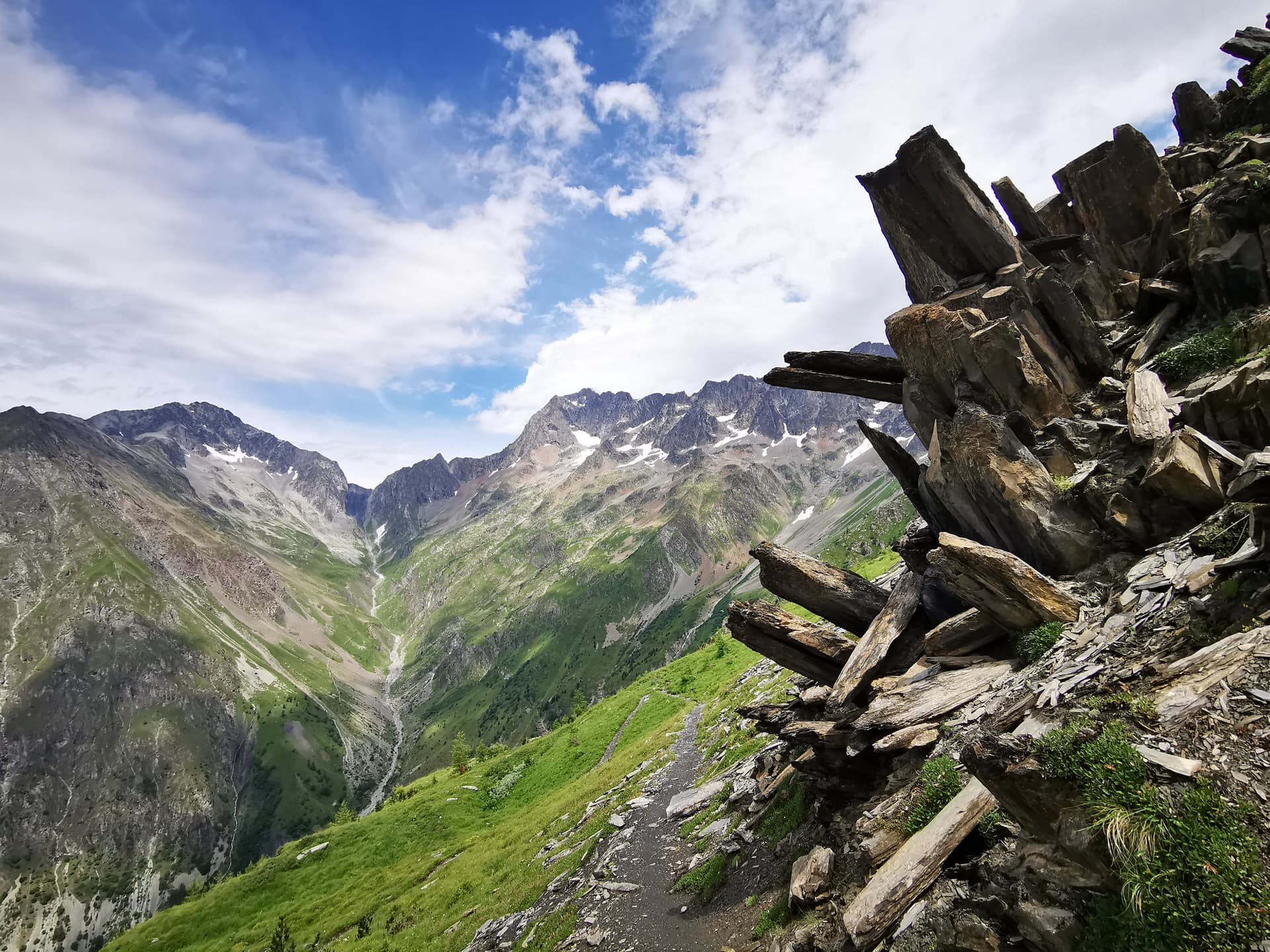
Today, we pass through one of the most beautiful passes on the trek. Here, the geomorphological movement of schist rocks has shaped sculptures with a striking aesthetic. The descent path winds playfully, taking us pleasantly to our next bivouac spot located at the edge of the Valsenestre forest. The owls and their hooting will accompany us during our restful sleep.
Hiking info: +1030m / -830m / Distance 10 km / Effective walking time 5h30
Valsenestre - Lac de la Muzelle
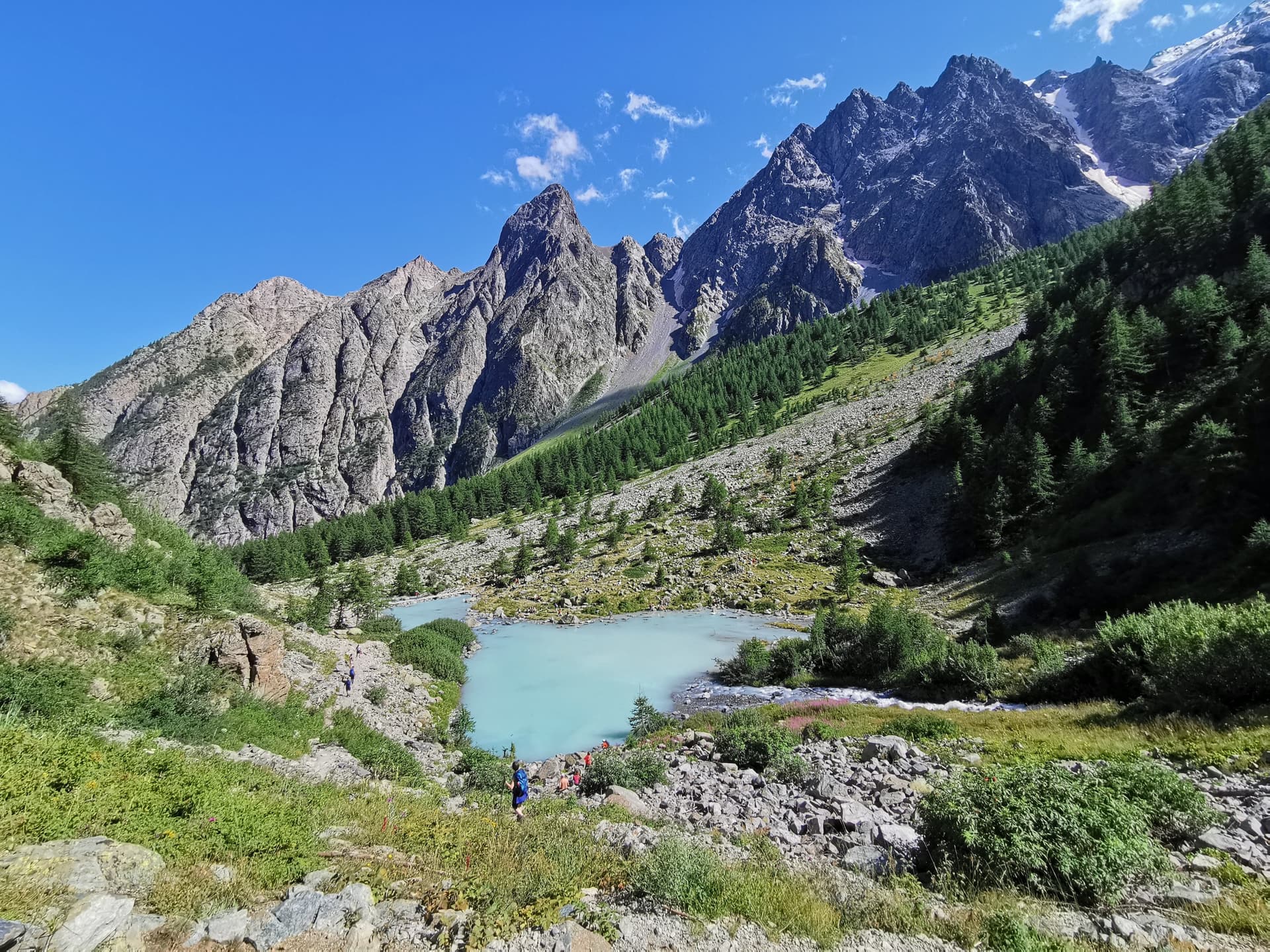
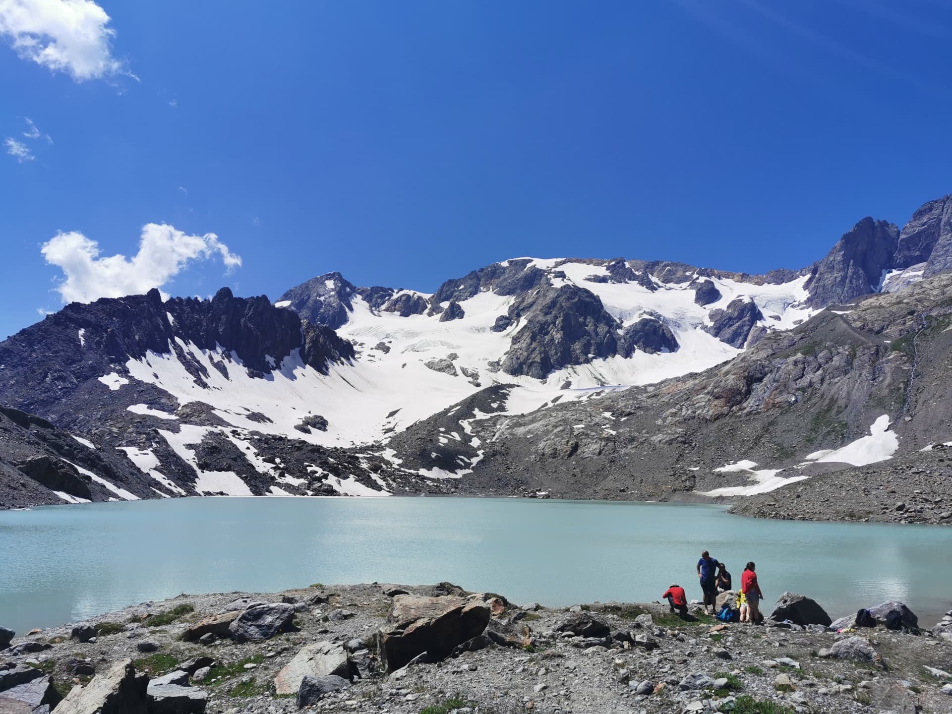
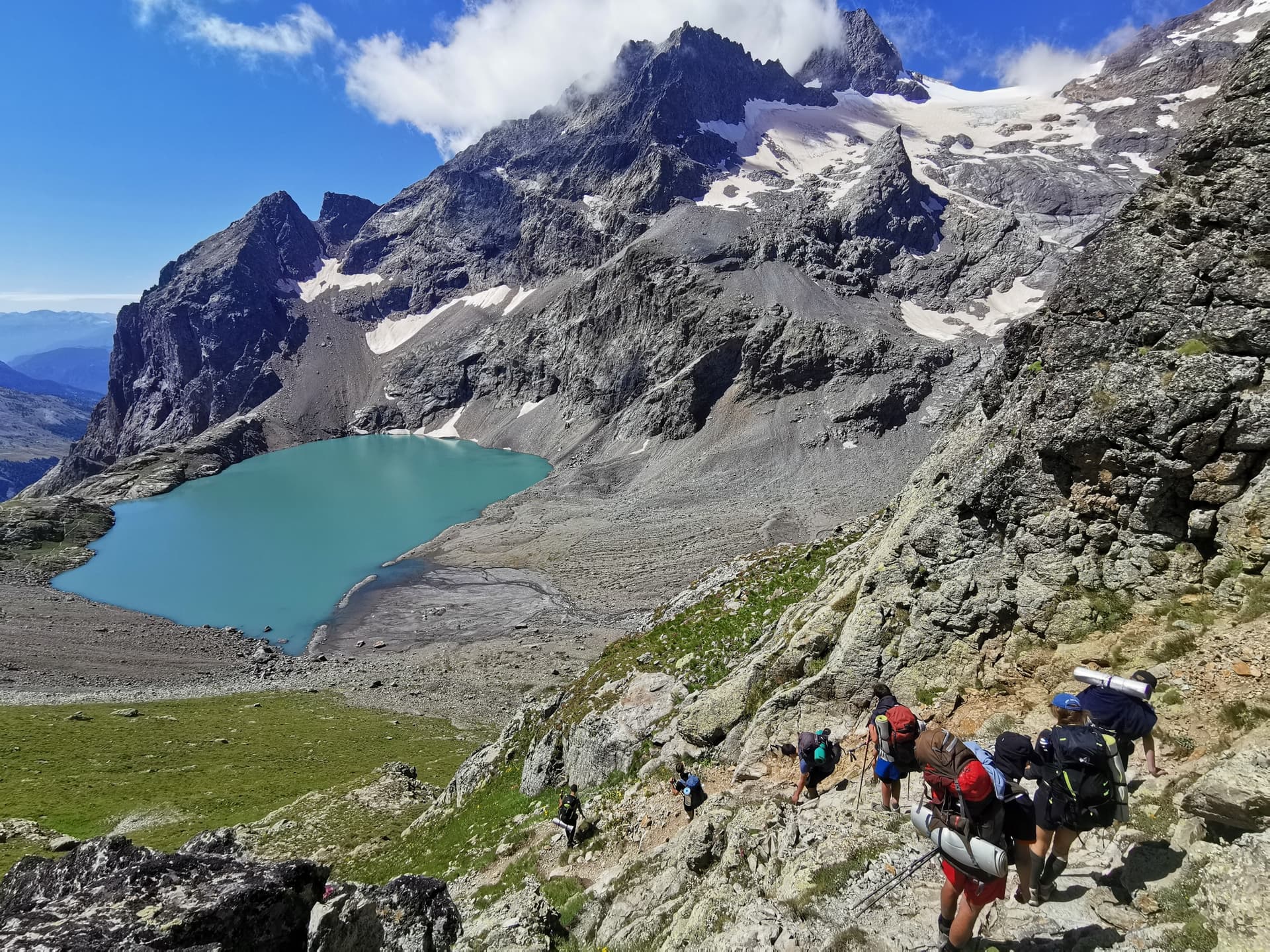
Second to last day of our itinerant journey and quite the significant one. We will be climbing the Col de la Muzelle perched at 2613 m altitude. The route is steep and alpine. But today's stage is fairly short so we can enjoy the afternoon in the invigorating waters of one of the most beautiful lakes in the Massif des Écrins. The Lac de la Muzelle will have the honor of being the setting for our last bivouac...
Hiking info: D+ 1150m / D- 510m / Distance 7 km / Effective walking time 5h
Lake Muzelle - Le Bourg d'Oisans
Parc national des Écrins → Grenoble
It's here... THE final stage of our journey! More and more beautiful waterfalls accompany us during our descent. How wonderful it is to follow the natural flow of water. A beautiful adventure ends in the plains of Bourg d'Oisans, at the confluence of the Romanche and the Vénéon. The Grand Tour of the Écrins concludes in the most beautiful way possible after 13 days of a mythic odyssey. 10,500 meters of positive elevation gain and as much descent, 170 km of trails, rocky terrain, summits, passes, meadows, fresh water springs, cramps, effort, joy, happiness.
You did it...
Hiking info: D+ 140m / D- 1530m / Distance 19 km / Effective hiking time 6h
Price per person
Indicative price per person, based on double room. Each trip is customized according to your preferences.
This trip can be tailored to your preferences
This itinerary provides an excellent foundation for discovery, but it can be fully customized. Our local advisors build each trip tailored to your budget, dates and preferences.
Not included
- Transport to the meeting point (Grenoble train station)
- Down pillows (rental available)
- Meals not mentioned in the programme
- Everything that is not explicitly mentioned as included
Included
- The service and guidance provided by the guide
- Bivouac accommodation, shared tent, mattresses provided
- Kitchen equipment
- The meals mentioned in the itinerary
- Shuttle transfers from/to Grenoble train station
Practical Information
Registration is considered firm and final after payment of a deposit of 30% of the total price and acceptance of the specific terms of sale.
The balance must be paid no later than 45 days before the departure date.
See our specific terms of sale for full details.
In the event of cancellation by the traveller, the following fees apply:
- Plus de 60 jours avant le départ : 40 % du prix total (acompte retenu)
- Entre 60 et 30 jours avant le départ : 50 % du prix total
- Moins de 30 jours avant le départ : 100 % du prix total
We strongly recommend taking out cancellation insurance. See our specific terms of sale for full details.
Our adventures take place in France: a valid national identity card (or passport) is all you need. No visa or entry formalities required, and no mandatory vaccinations.
Keep an identity document with you during your stay. Travelers coming from abroad should check their entry requirements for France with the authorities of their country of residence.
Our micro-adventures take place in France. Liability insurance and mountain rescue and assistance coverage are highly recommended — they are often already included with a bank card, a FFME / FFCAM membership, or your home insurance.
For fixed-date group departures, consider cancellation insurance. If in doubt, your Captain will guide you toward the coverage best suited to your activity (hiking, bivouacking, climbing, ski touring, etc.).
Required level
- Physical effort: Sustained (trek backpack of 12 to 15 kg)
- Technical prerequisite: None
- Accessibility: From 16 years old if accompanied by an adult
Accommodation
Camping:
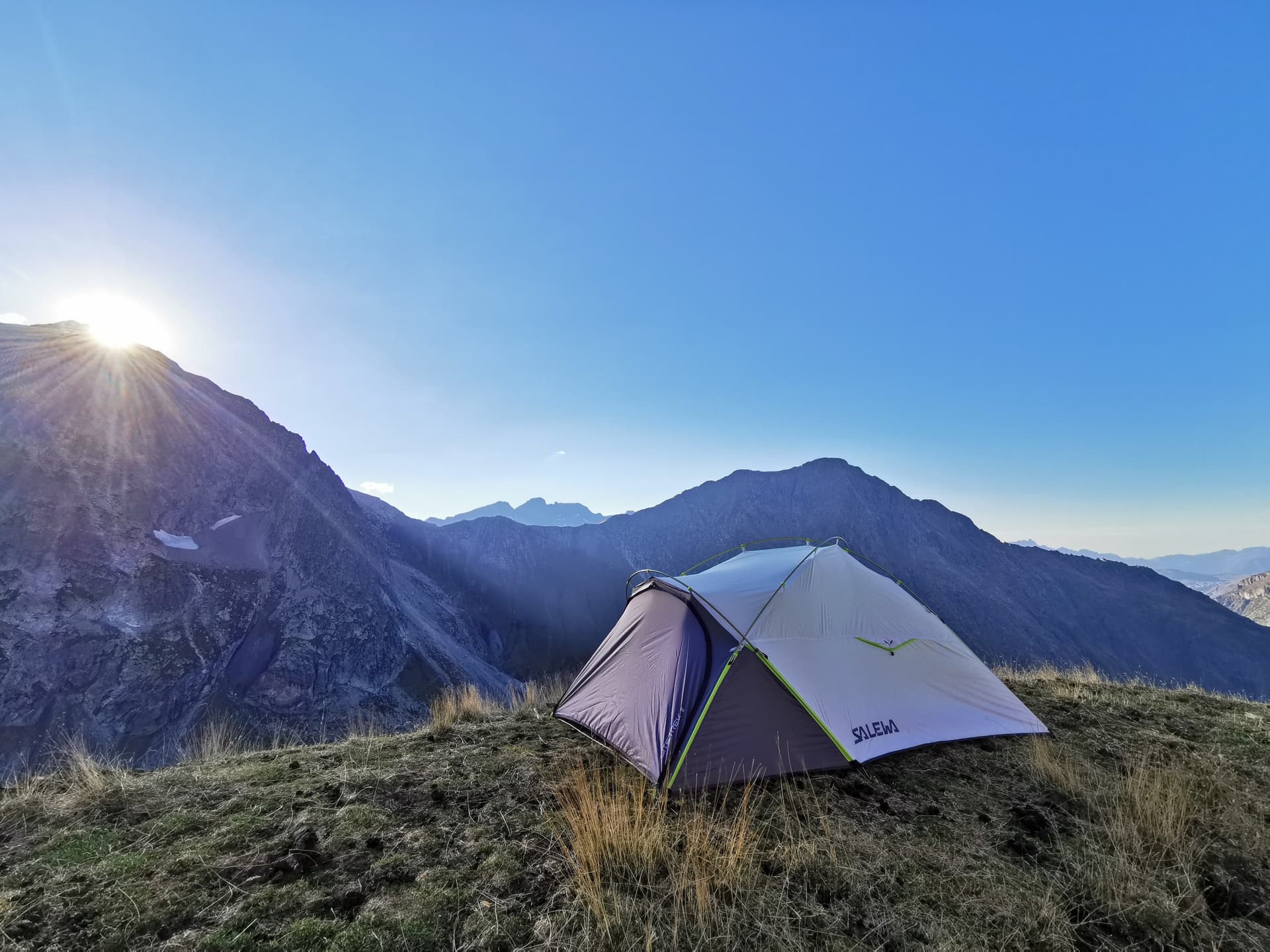
Nights will be in 2 or 3 person tents.
Hot meals morning and evening outdoors. Picnic-style lunch.
Self-sufficiency during the 13 days, no showers or public toilets. A true great nature circuit!
- Departure confirmation: no later than 20 days before the stay date
- Confirmed departure: from 5 registrations onwards
- Sales closing: up to 3 days before departure, subject to availability
- Meeting at 10:15 AM at Grenoble train station
Chapka — Cap Explorer
Our insurance partnerTravel with peace of mind with our partner Chapka. Cancellation, repatriation, medical expenses, baggage… All the coverage for a worry-free trip.
Travel with peace of mind — I'll handle the insuranceFrequently asked questions
France is part of the Schengen area. French nationals have no procedures to complete, of course. If you invite foreign relatives to join you, the conditions vary depending on their nationality: check with the French embassy in their country of residence before purchasing any tickets.
Go to the My Trips section to find all your projects.
You can send a message to your host directly from the Tea Lounge.
For a quality custom trip, budget between €200 and €400 per day and per person, including accommodation, meals, internal transfers and activities. Paris is noticeably more expensive than the provinces. Our detailed quote allows you to adjust each item according to your preferences and comfort level.
Your documents are accessible in the Documents tab of your trip.
Absolutely. We design itineraries at your pace, with stops tailored to children: Loire Valley châteaux, natural parks, Provençal villages, Breton and Basque beaches. We select family-friendly accommodations and activities that blend discovery and enjoyment for the youngest travelers.
It's simple: chat with our team to define your wishes, dates and budget. You'll receive a detailed itinerary proposal within 48 hours, which you can adjust freely. Once confirmed, your local agency remains available 7 days a week throughout your stay to answer any questions.
In case of emergency, contact your local agency immediately.
Payment is generally made in two installments.
Nomadays is a network registered in France. You benefit from APST guarantee, which protects all your funds in case of default. Secure payment, English-speaking assistance during your trip and support from A to Z: your peace of mind is our priority.
Let's talk about your adventure — Ecrins
A Nomadays advisor will get back to you to refine this project — itinerary, dates, budget, wishes — and propose a tailor-made version suited to your trip.