At the end, the sea: the Manambolo, from the Itasy volcanoes to the Tsingy of Bemaraha and the Mozambique Channel
Fifteen days of adventure in the West: hiking in the Bongolava, by canoe or kayak on the Manambolo, in the Tsingy of Bemaraha, then to the sea via the delta and the Mozambique Channel.
Duration
16 days
From
€1,820/pers.
Ideal seasons
May, Jun, Jul, Aug, Sep, Oct
Style
Guided tour
Comfort
budget
Travelers
Couple, Solo, With friends
The spirit of travel
The Manambolo is the wildest river in Madagascar. It is born in the Highlands, crosses the Bongolava and the western plateaus, plunges into the Bemaraha gorges, then disappears into a vast mangrove delta before joining the Mozambique Channel. No road runs along it: the river remains the only path for the villages on its banks.
We begin with the Itasy volcanoes, west of Antananarivo, where we walk along the ridges and around the craters that overlook the lake. Then the track takes us to the Bongolava, which we descend on foot to Ankavandra. There, on the beach, begins the descent of the Manambolo: four days in dugout canoe or kayak, between bare hills, forests and cliffs, until Bekopaka. We then take time for the Tsingy of Bemaraha, the small and then the large ones, before reaching the delta and the sea.
The thread of this journey is the Manambolo, and it is also the thread of the "The Manambolo River" episode from the series "To the End is the Sea", broadcast on France 5, for which we filmed and organized the production. If the descent from Ankavandra to Bekopaka is a known itinerary, the second part is original: from Masoarivo to Benjavily Mozambiky through the delta, then to Belo-sur-Tsiribihina via the Mozambique Channel. We opened it for the film, and we offer it today to travelers, with the same teams and the same villages.
The journey is made with the people of the West. Between Tsiroanomandidy and Ankavandra, we cross a territory where we have been working for a long time with local communities, who ensure our safety. On the river, the boatmen and porters come from villages on the banks. In Benjavily Mozambiky, a fishing village in the lagoon, outside any tourist circuit, we accompany the women's association of the village, who welcomes us and prepares our meals: it is the beginning of a tourist activity that they are building themselves. At camp, the team sorts waste into colored bags and takes it to the exit; bonuses reward this work, the setup of camps and help in the kitchen.
Level: adventure travel, accessible to anyone in good physical condition. Walks last from 2 to 6 hours, navigation is done at the pace of the river, and nights are often spent under canvas, by the water's edge. The western tracks are long and bad: you must accept discomfort and the unexpected.
Season: May to August, when the level of the Manambolo allows a regular descent.
The stages of your journey
Highlights
Day-by-day itinerary
From Antananarivo to Lake Itasy
In the afternoon, visit to the Lily Falls. Check-in at the hotel for the night.
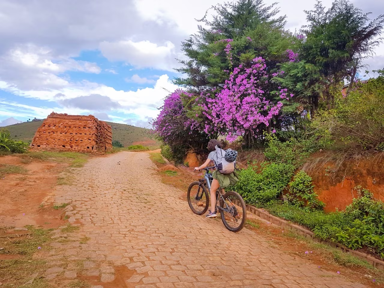
We leave Antananarivo heading west. The road first crosses the rice plain of the capital, then climbs onto the Highlands, between red laterite hills, brick villages and terraced rice fields. As the kilometers pass, new reliefs appear on the horizon: regular cones, with grassy slopes, which announce the volcanic region of Itasy.
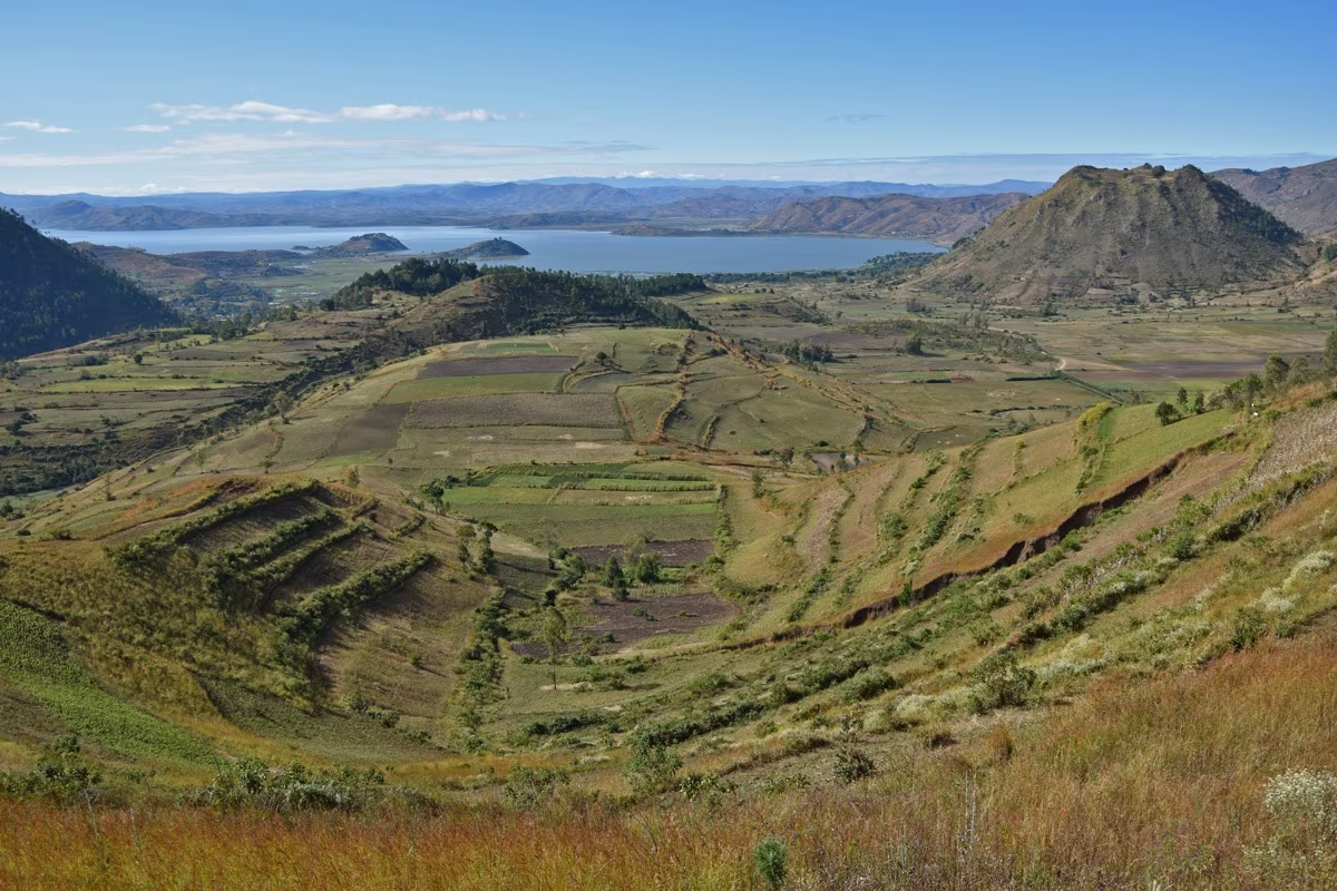
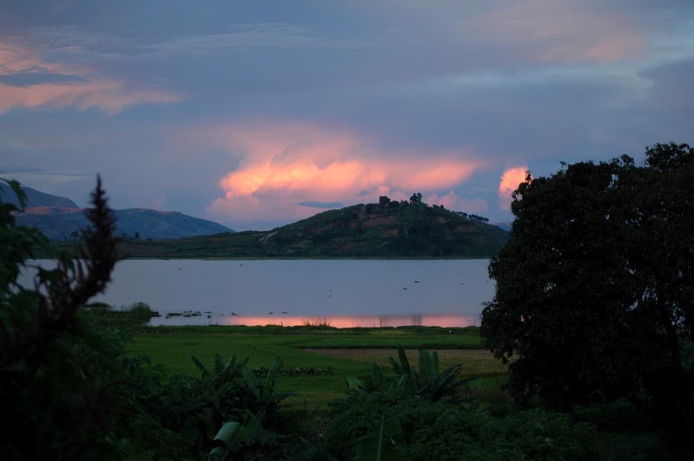
Itasy is a collection of several dozen volcanoes, born from recent activity on a geological timescale. Lava flows blocked the valleys and gave birth to Lake Itasy, one of the largest lakes in Madagascar. The volcanic soils are fertile: crops scale the slopes, and the region is one of the granaries of the Highlands.
We arrive in Ampefy, a small town on the shore of the lake, late morning. After lunch, we have free time and set off for an easy walk around the lake. The trail runs along the banks and crosses villages of fishermen and farmers. Pirogues are pulled up on the shore, nets dry in the sun, and rice fields meet the water's edge.
This first walk is an opportunity to find our rhythm and discover life in a rural region, just a few hours from the capital. We pass ox-carts, children returning from school, women washing clothes by the lakeside. The late afternoon light, on the water and the volcanic cones, is particularly beautiful.
We return to our hotel in Ampefy, where we meet the team that will accompany us throughout the journey. Dinner is an opportunity to present the itinerary for the coming days: the volcanoes, the Bongolava trail, then the long descent of the Manambolo to the sea.
The day is intentionally quiet. It allows us to recover from the journey and prepare for the more demanding days ahead in the West.
Before dinner, we check together the equipment needed for what comes next: sleeping bag, headlamp, hiking shoes, sandals for the river and sun protection. The rest of the luggage travels with the team, and everyone keeps a small day pack with them.
Road: approximately 120 km, 2 hours 30 minutes. Walk: 2 to 3 hours, easy.
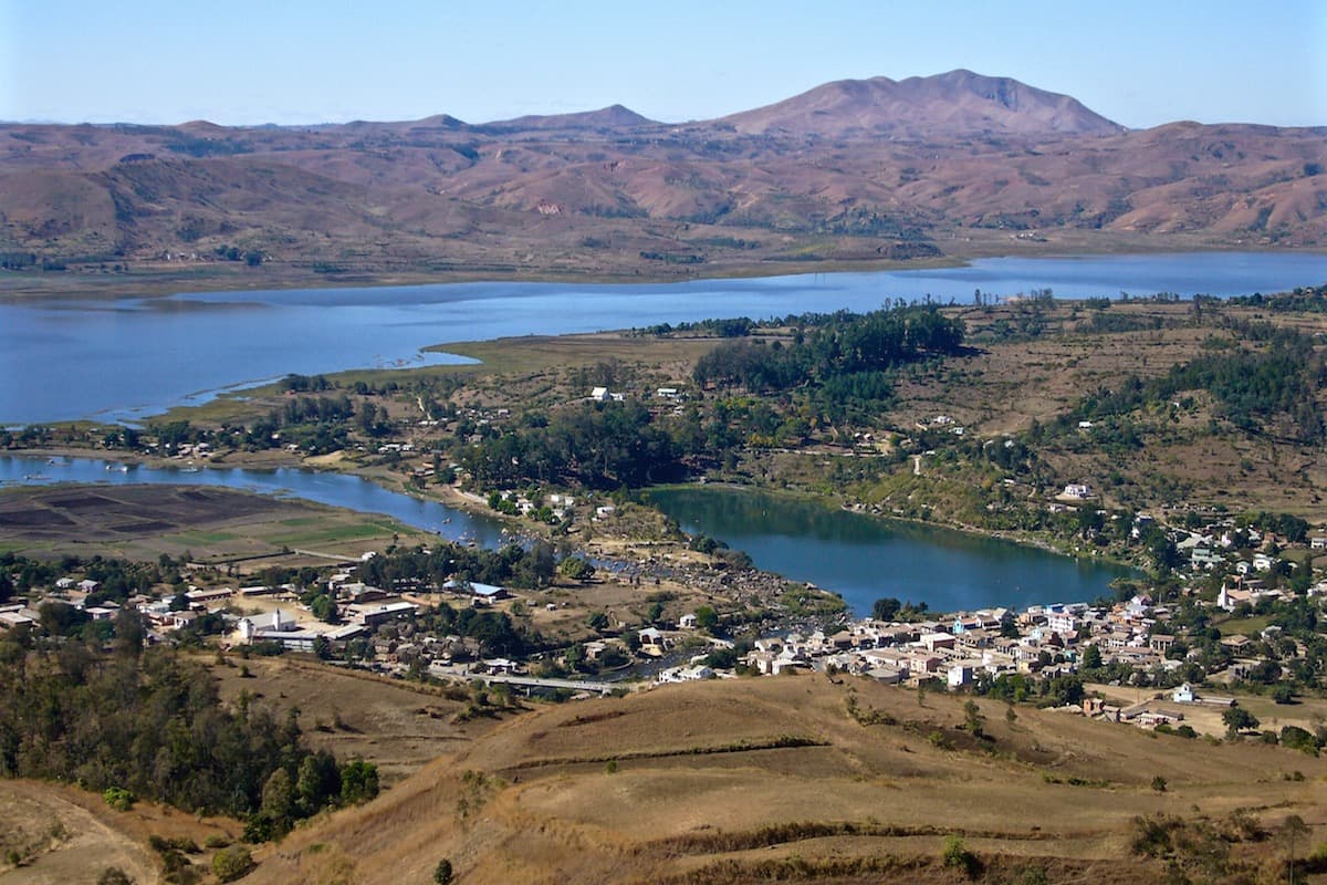
Hiking on the volcanoes of Itasy
Departure around 8:30 AM, visit to Ilot de la vierge, a viewpoint overlooking Lake Itasy and a volcanic crater.
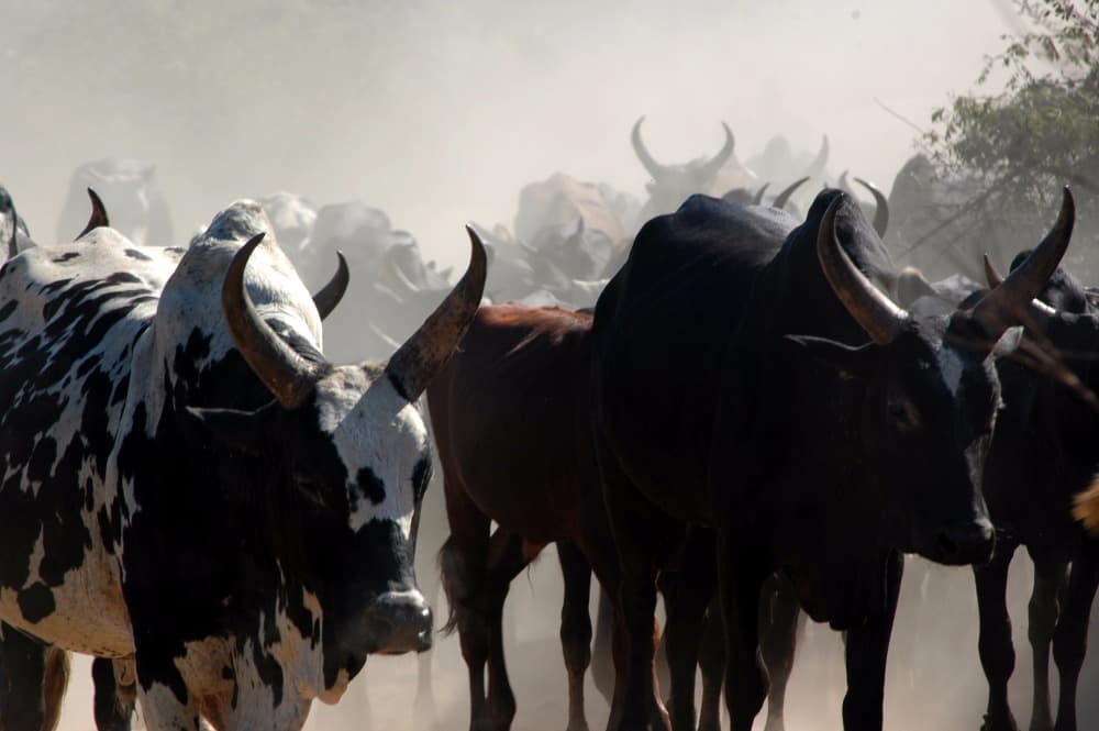
Then continue towards Tsiroanomandidy, the zebu road of Central Western Madagascar, crossing a mountainous landscape arranged with cultivated fields. Picnic lunch during the journey. Arrival in the afternoon and free time.
Night at the inn.
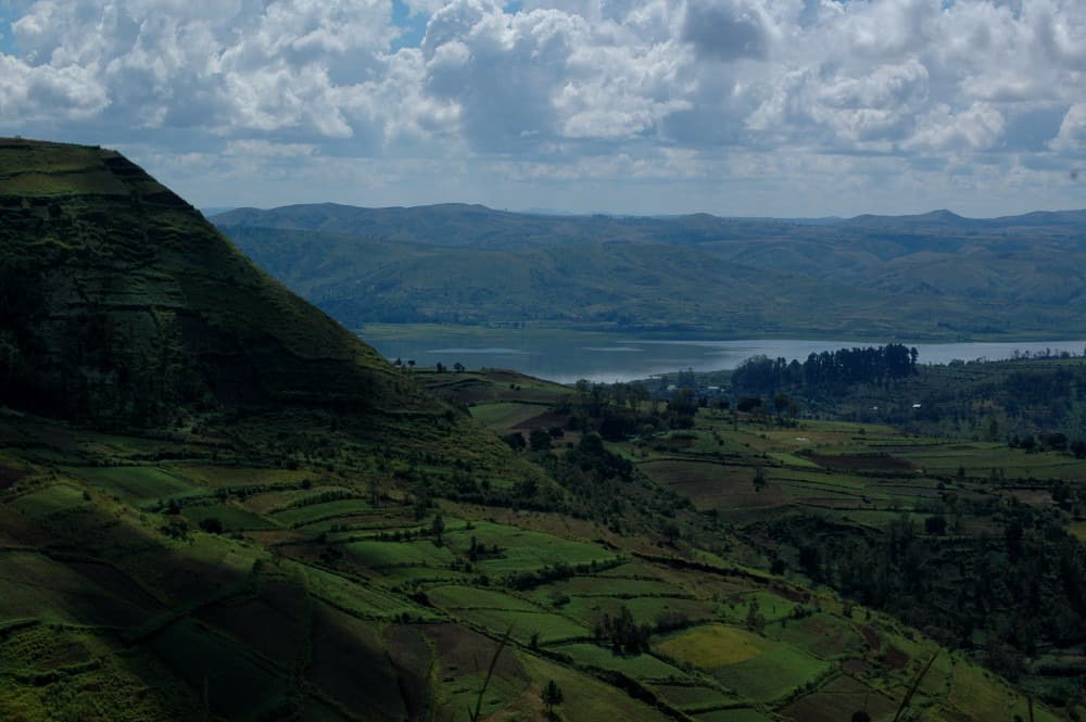
Through Tsiroanomandidy, towards the Bongolava track
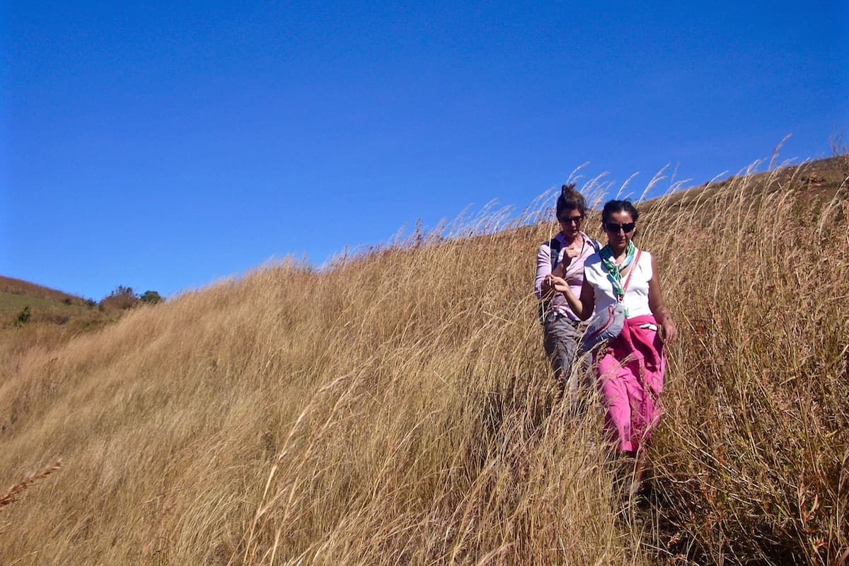
From Bongolava to Ankavandra, on foot to the Manambolo
We resume the trail early in the morning, through the vast spaces of Bongolava. The plateau stretches as far as the eye can see, undulating, covered with dry grass, cut through by deep valleys. Here and there, a copse, a hamlet of a few huts, a herd of zebus led by young herders. The morning light skims the hills and accentuates every contour.
We arrive at Tsiafapapango, on the edge of the plateau. The trail ends here: the rest is on foot. Before us, the terrain drops sharply towards the Manambolo valley, and the view extends far to the west, over bare hills and the first forests.
We descend by a path that winds down the slope, for about two hours. The team and porters carry the equipment. The descent is steep in places, and we must take our time. As we lose altitude, the heat increases and the vegetation changes.
At the bottom, we arrive at Ankavandra, a large village situated on the banks of the Manambolo. It is the last inhabited settlement accessible by trail before the sea, and the starting point for the river descent. In the valley of Ankavandra, vast tobacco plantations once extended, their production transported down the Manambolo in pirogues, along with many other goods: the river was long the main trade route for the entire region. The village lives to the rhythm of the river: pirogues drawn up on the bank, children swimming, women washing clothes and pounding rice.
We visit the village and meet the inhabitants, then we meet the pirogue operators and porters who will accompany us down the river. They are men from the villages along the banks, who know every passage of the Manambolo.
We set up our camp on a sandy beach, on the banks of the Manambolo. In the evening, around the fire, the team prepares for the descent of the coming days. The tents are pitched facing the water, and we fall asleep to the sound of the river.
At Ankavandra, the porters divide up the loads: tents, kitchen equipment, food reserves for several days. On the river, all equipment travels in the pirogues, carefully protected from the water. This night truly marks the beginning of the adventure.
Trail: approximately 3 to 4 hours. Walk: approximately 2 hours, downhill.
Beginning of the Manambolo Descent
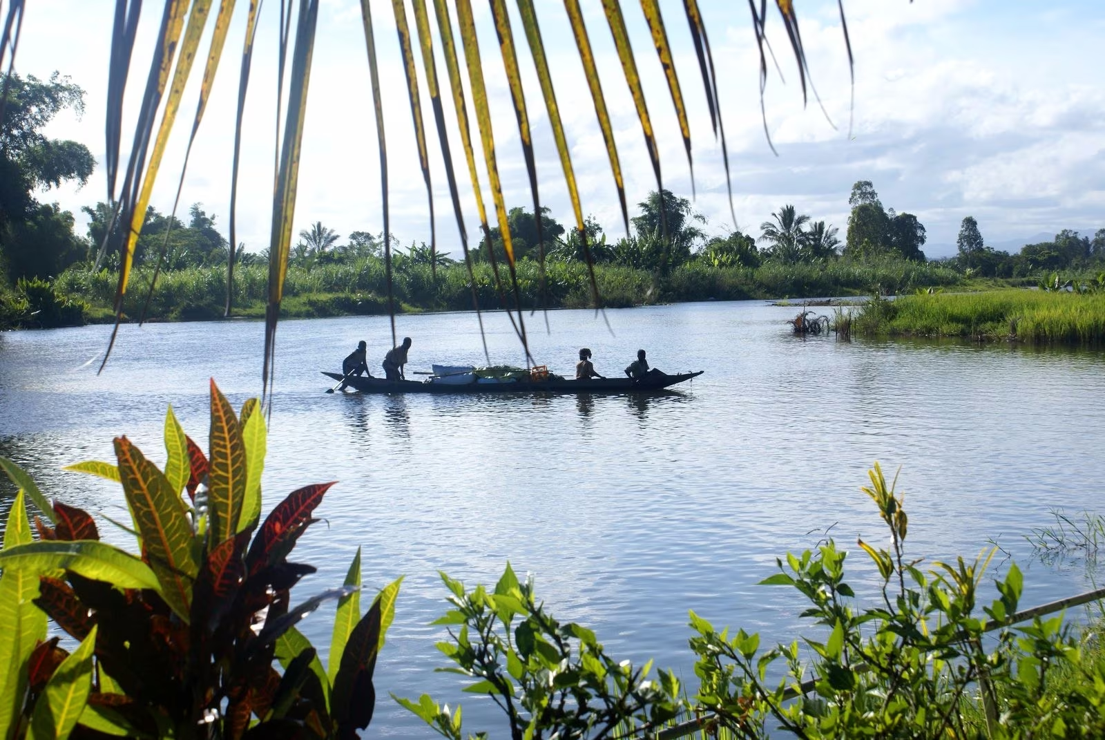
At daybreak, mist still floats over the Manambolo. The river flows slowly, earth-colored, between wide sandy beaches and banks covered with grass. On the shores, bare hills rise in tiers, carved by erosion into jagged shapes.
Before departing, we witness the fomba, the ritual that asks the ancestors for permission to navigate the river. An elder from the village speaks the words, and an offering is made to the river. For the people of the Manambolo, the river is inhabited, and nothing is done without respect for the ancestors.
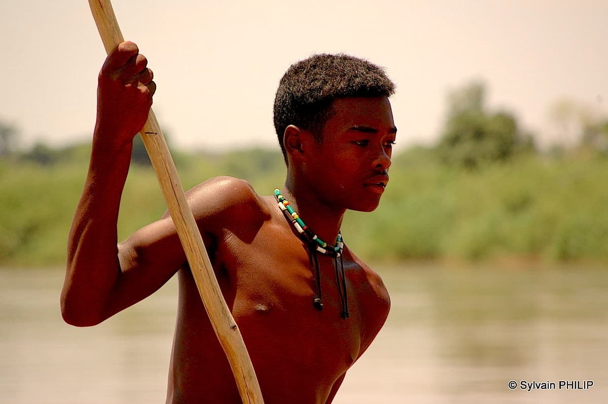
We then board, in pirogues or kayaks depending on each person's choice. The pirogues are carved from a single trunk, and each boatman guides his vessel with a pole or paddle. In a kayak, we move at our own pace, accompanied by the team. The current carries us gently downstream.
The landscape unfolds slowly: red and yellow hills, sandbanks, villages of a few huts, rice paddies in the alluvial plains. We pass pirogues laden with rice or cassava, traveling up or down the river. For the inhabitants of the banks, the Manambolo is the only road: everything is transported by water.
At noon, we stop on a beach for a picnic in the shade of a tree. In the afternoon, before the heat becomes too strong, we resume navigation. Birds are numerous: herons, egrets, kingfishers, and sometimes a fish eagle flying over the river.
In late afternoon, we set up our camp on a beach. The porters pitch the tents, the cook lights the fire, and the boatmen pull the pirogues onto the sand. In the evening, the sky is covered with stars above the river.
Those who wish can alternate between pirogue and kayak over the days, depending on their condition and preference. The kayak offers greater freedom and direct contact with the water. The pirogue allows you to drift along, to photograph and chat with the boatman, who tells the stories of the river and names each village, each tree, each bird. Both complement each other very well.
Navigation: approximately 5 to 6 hours, including stops.
Along the Manambolo, towards Bemaraha
Day 6: Along the Manambolo, from village to village
We resume navigation in the coolness of the morning. The river widens and narrows according to the hills, and the landscape changes constantly. Bare hills are succeeded by small woods, then by forest galleries that line the banks. Sandstone cliffs appear in places, ochre and red, and the river draws large curves between sandbars.
Following the water, we stop in isolated villages, whose only link with the rest of the country is the Manambolo. The inhabitants live from rice, corn and cassava cultivation, livestock raising and fishing. Encounters happen simply, at the water's edge, with the pirogueers who know everyone along the river.
In some villages, we discover the making of traditional rum, toaka gasy, distilled in makeshift stills from sugar cane grown on the banks. It is an ancient tradition, at the heart of social life and ceremonies in the villages of the West.
As we descend, the forest becomes more present. With a bit of luck, we spot sifakas, these white lemurs with black heads that move by spectacular bounds from tree to tree. On the sandbars, crocodiles have left their traces: they are rare, but remain feared and respected by the people of the river.
At noon, picnic on a beach. In the afternoon, we take advantage of a stop to swim in calmer water, at the place chosen by the pirogueers. The rhythm is that of the river: slow, steady, with no schedule other than that of the sun.
In the evening, we set up our camp on a new beach. The team organizes itself as each day: setting up tents, cooking, sorting waste. Around the fire, the pirogueers tell stories of the Manambolo.
The river is also a place of exchange. Villagers often come to meet us to offer fruit, fish or eggs, and the pirogueers take the opportunity to get and give news. Here, each passage of a pirogue is an event, and the descent of a group of travelers never goes unnoticed. Children follow us running on the banks.
Navigation: approximately 5 to 6 hours, with stops.
Day 7: Towards Bemaraha, in the heart of the forest
The landscape transforms again. As we approach the Bemaraha massif, the hills give way to more marked relief, and dry forest covers the slopes. Villages become rare, and nature takes back its rights. The river, more enclosed, flows between wooded banks where the cries of birds and lemurs resound.
This day is the wildest of the descent. We navigate in the heart of an almost uninhabited region, where the forest comes down to the water's edge. Sifakas are more numerous, and we can also observe brown lemurs, chameleons and many birds endemic to the West, such as couas or vangas.
The first limestone cliffs appear in the distance. They announce the Bemaraha plateau, an immense limestone massif that the Manambolo crosses in a gorge before joining the coastal plain. Their gray and white color contrasts with the green of the forest and the brown of the river.
At noon, we picnic in the shade, on a beach or under the trees on the bank. In the afternoon, navigation continues at the calm pace of pirogues and kayaks. The pirogueers choose the passages, avoid sandbars and show us the trees and plants used by the inhabitants.
At the end of the day, we set up our last camp on the river, at the foot of the first cliffs. The setting is magnificent: the forest, the river, and the limestone walls that light up at sunset. The night is animated by the sounds of the forest.
This last evening on the Manambolo is a highlight of the journey. After three days of navigation, we have taken the rhythm of the river, and the team has become familiar. Tomorrow, we will enter the gorges.
The forest of the West is a dry forest, which loses some of its leaves during the dry season. Yet it is home to remarkable fauna, adapted to long months without rain. At the river's edge, where water remains present all year round, vegetation is denser and greener, and this is where animals concentrate. Let us keep our eyes open and our ears alert.
Navigation: approximately 5 to 6 hours, with stops.
The Manambolo Gorges, up to Bekopaka
We leave early for our last day on the river. Very quickly, the cliffs draw closer, and the Manambolo enters the Bemaraha gorges. The passage is spectacular: vertical limestone walls, dozens of meters high, carved and sculpted by the river, isolate us from the rest of the world.
The light changes at every bend. The limestone shifts from gray to white, then to ochre, depending on the time of day and exposure. Trees cling to the walls, caves open at water level, and birds nest in the crevices. The silence is only disturbed by the sound of paddles.
The Manambolo gorges shelter ancient tombs, attributed by tradition to the Vazimba, considered the first inhabitants of the region. These places are sacred and subject to prohibitions that our boatmen scrupulously respect. A guardian still watches over some of them. We observe them from a distance, with respect, listening to what the river people have to tell.
Further on, the gorges open up, and the river joins the plain. Early in the afternoon, we arrive at Bekopaka, a village situated at the foot of the Tsingy massif. This is the end of the Manambolo descent. We say goodbye to the boatmen and porters, who will return to their villages.
We reach our hotel in Bekopaka. After four days on the river and several nights under canvas, a shower and a bed are very welcome. The rest of the afternoon is free to rest, do some laundry or take a walk through the village.
In the evening, we dine at the hotel. It's an opportunity to reflect on the river descent and prepare for the two days of hiking in the Tsingy.
This day in the gorges is one of the highlights of the journey. Take time to look, to raise your head toward the walls and listen to the silence. The boatmen slow down in the most beautiful passages, and we stop on a small beach at the foot of the cliffs to enjoy the place, far from everything. It's also the moment to bid farewell to the river that has carried us since Ankavandra.
Navigation: approximately 4 hours.

The Small Tsingy of Bemaraha
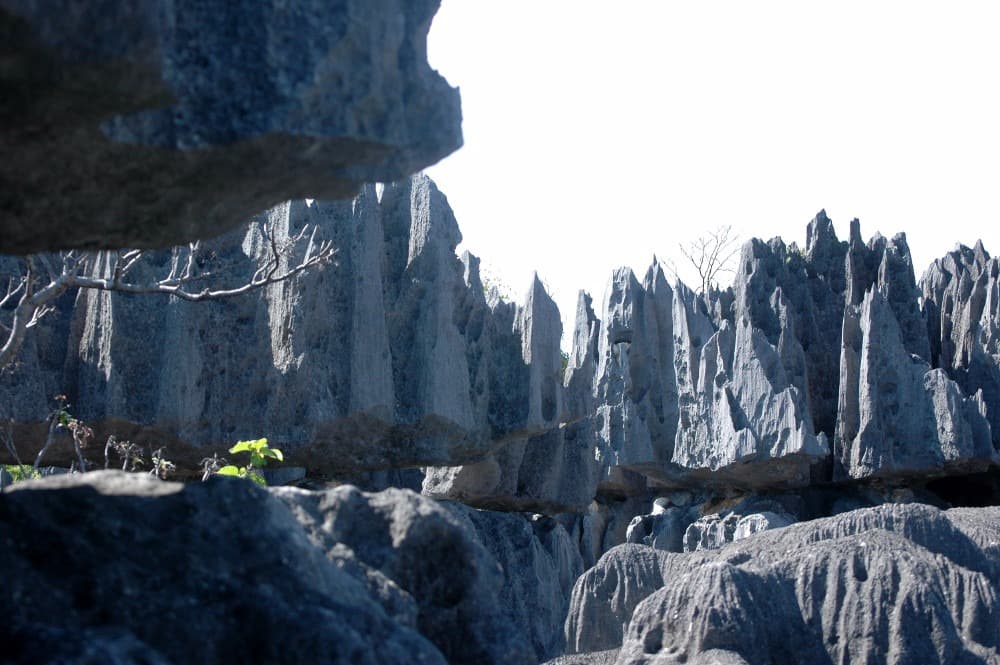
The Bemaraha plateau is a massive limestone formation that was created at the bottom of a sea millions of years ago, then raised up and slowly dissolved by rainwater. The result is a unique landscape: a forest of stone needles and blades, separated by deep fissures, canyons and caves. The local inhabitants call it tsingy, a word that evokes places where it is impossible to walk barefoot.
The Tsingy de Bemaraha National Park has been inscribed on the UNESCO World Heritage List since 1990. It protects this exceptional landscape and very rich biodiversity, with many species found only in western Madagascar.
This morning, we start with the Small Tsingy, very close to Bekopaka. With a local park guide, we follow a trail that winds between the pinnacles, walkways and fissures. The formations are lower than those of the Grand Tsingy, but already impressive, and they help us understand how this landscape was formed.
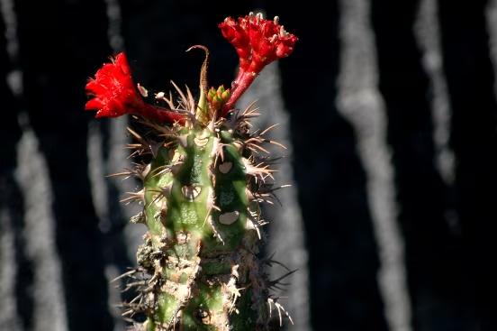
In the dry forest surrounding the tsingy, we can observe lemurs, such as Decken's sifakas or brown lemurs, as well as chameleons, geckos and many birds. The plants themselves are adapted to this harsh environment: pachypodiums, strangler figs, vines descending into the fissures.
We return to the hotel for lunch. The afternoon is deliberately relaxed: rest, reading, a walk by the Manambolo river or in the village of Bekopaka. After days of driving, hiking and boating, this moment of calm is welcome.
In the late afternoon, we can walk to the river's edge to watch the sunset over the Bemaraha cliffs. In the evening, we dine in Bekopaka and prepare for the next day's exploration of the Grand Tsingy.
The Small Tsingy trail requires some agility, but it remains accessible to anyone in good physical condition. You should wear good hiking shoes, bring water and sun protection, as it can get very hot among the rocks, even in the morning.
Hiking: approximately 2 to 3 hours, in the morning.

The Grand Tsingy of Bemaraha
Early in the morning, we head towards Morondava by all-terrain vehicle. Despite the quality of the track, we will relive with nostalgia this intoxicating discovery of steep high cliffs and grand landscapes. The very particular sensation of measuring immensity creeps in once again.
First ferry crossing on the Manambolo river to reach Belo late morning. We have lunch there and then continue with the folksy crossing of the Tsiribihina river by ferry. We pass through the famous Avenue of the Baobabs. We will want to walk the red earth track to arrive in time, photograph and capture the magnificent sunset that gives its orange hue to the baobabs.
Arrival in Morondava in the evening.
From Bekopaka to the Manambolo delta, up to Benjavily Mozambiky
Depending on your flight schedule to the capital, we take a short city tour and transfer to the airport to catch the flight between Morondava and Antananarivo.
Upon your arrival at Ivato airport in Antananarivo, a member of the Détours team welcomes you at the airport.
Transfer to your hotel for the night before continuing this beautiful adventure.
test

A Day in Benjavily Mozambiky, with the Women of the Village
The car picks you up at the hotel. We head to Andasibe, heading East! We travel along the East road through lush vegetation, home to several species of animals threatened with extinction by human activity (bush fires, deforestation…)
By sea canoe on the Mozambique Channel
Visit to Andasibe National Park, a conservation site for the Indri-Indri, the largest of the lemurs. We explore the primary forest of Andasibe through the Analamazaotra Special Reserve crossed by the Amboasary river. This reserve is the natural habitat of a large population of lemurs including 11 other lemur species besides the Indri Indri such as bamboo lemurs, sifakas…Other animal species may be visible: chameleons, birds… The flora is equally impressive with several varieties of orchids such as eulophiella, rosewood, palm trees and medicinal plants.
The Tsiribihina Delta, Belo and the Avenue of the Baobabs
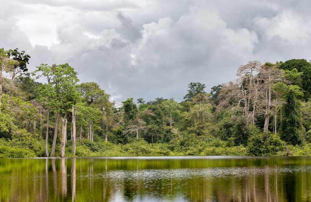
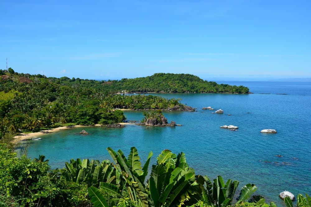
We set out to sea early in the morning to reach the mouth of the Tsiribihina. The river flows into the Mozambique Channel through a vast delta, bordered by mangroves and sandbars. We leave the sea to enter the delta, where freshwater meets saltwater.
We then travel upriver towards Belo-sur-Tsiribihina. The landscape changes as we go upstream: the mangroves give way to rice fields, sugar cane plantations and riverside villages. Fishing and transport pirogues are numerous, and the river is a true artery of life for the entire region.
We arrive at Belo-sur-Tsiribihina, a city in Menabe, a major centre of Sakalava royalty in Menabe. On the left bank, at the landing stage, our vehicles are waiting for us. We say goodbye to the sailors, and we set off again in the direction of Morondava.
The track crosses the Menabe plain, covered with rice fields, savannas and dry forests. Gradually, baobabs appear, isolated or in small groups, dominating the landscape with their massive silhouettes. Madagascar has six species of endemic baobabs, and the Morondava region is home to several of them.
At the end of the day, we arrive at the avenue of baobabs, at sunset. The great Grandidier baobabs, over 20 metres high, line the track on both sides. The orange light of evening on their trunks is one of the most striking images of Madagascar. These trees are now threatened, and their protection has become an issue for the entire region.
We then head to Morondava, where we spend the night at a hotel, by the sea. Dinner, at your leisure, is an opportunity to celebrate the end of the adventure.
That evening, we also find the comfort of a hotel again, after several days of camping by the water. The transition is sometimes abrupt, but it allows us to measure everything we have experienced since Ankavandra: the descent of the river, the Tsingy, the delta, the sea, and the gradual return to the world of roads.
Navigation: approximately 4 hours. Road: approximately 3 hours.
From its landing stage, we take the boat to Ambodifotatra, on Sainte-Marie Island.
We reach our hotel on the seafront where we can enjoy the paradisiacal beaches.

Morondava, flight to Antananarivo
Free stay dedicated to discovering this charming little island, its beaches lined with coconut trees, its tropical forest, its secluded coves and its many villages.
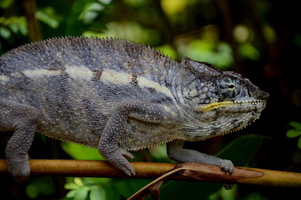
Many activities are possible: Diving, boat trips, discovery of coral reefs, excursion to Île aux Nattes, mountain biking, fishing, hiking, swimming, island discovery…From July to September, you can observe the whales that come to give birth.
If you wish, our guide can advise you based on possibilities, season, your preferences and your budget.
Flight Sainte Marie > Antananarivo
Ile Sainte Marie → Antananarivo
After a final morning in this enchanting setting, we hit the road to the airport to board the flight to Antananarivo, the vibrant capital of Madagascar, just in time to fly over the contrasting landscapes of the red island, between sparkling lagoons and verdant highlands.
Upon arrival, our local team welcomes you for your transfer to the city. End of our service
test
Price per person
Indicative price per person, based on double room. Each trip is customized according to your preferences.
This trip can be tailored to your preferences
This itinerary provides an excellent foundation for discovery, but it can be fully customized. Our local advisors build each trip tailored to your budget, dates and preferences.
Not included
- International flights,
- The domestic flight Morondava > Antananarivo on D15 (fluctuating rate, booked separately),
- Lunch on D1, dinner on D14 and meals on D15,
- The single supplement (individual room and tent),
- Drinks, tips and personal expenses,
- Insurance (cancellation, repatriation, loss or damage to luggage),
- Visa fees.
Included
- The services of an English-speaking guide throughout the entire trip,
- Vehicle transfers, four travelers per vehicle, fuel included,
- Accommodation in double or twin room in Ampefy, Bekopaka and Morondava (or similar depending on availability),
- Nights under canvas during the trek, river descent and sea section, camping equipment provided (bring a sleeping bag),
- Full board from dinner on Day 1 to lunch on Day 14,
- The descent of the Manambolo by canoe or kayak, with boatmen, porters and cook,
- The pirogues of the Manambolo delta and the sea pirogues up to Belo-sur-Tsiribihina,
- Welcome and meals at Benjavily Mozambiky with the village women's association,
- The entrance fees for Tsingy de Bemaraha National Park, including mandatory local guides.
Practical Information
Registration is considered firm and final after payment of a deposit of 30% of the total price and acceptance of the specific terms of sale.
The balance must be paid no later than 45 days before the departure date.
See our specific terms of sale for full details.
In the event of cancellation by the traveller, the following fees apply:
More than 60 days before departure: 30% of the total price (deposit retained)
Between 60 and 30 days before departure: 50% of the total price
Less than 30 days before departure: 100% of the total price
We strongly recommend taking out cancellation insurance. See our specific terms of sale for full details.
Your Passport:
Important: your passport must be valid. It must be mandatory and obligatorily valid for 6 months after the end of your stay in Madagascar.
Your travel documents
Your valid passport,
Your international and/or domestic flight tickets,
Your repatriation insurance/first aid expenses contract, -
Your vaccination record, not mandatory,
Your blood group card if possible.
Obtaining a visa to enter Malagasy territory
Upon arrival in the territory:
The visa cost is €35 for a stay of less than 30 days.
It is easily obtained upon your arrival in Malagasy territory.
This applies to all airports in Madagascar that receive international flights.
Upon arrival in the terminal, upon exiting the plane, a corridor for passengers is dedicated to issuing tourist visas.
This procedure is the simplest. We recommend it to you.
From the embassies and consulates of your countries of origin:
For information, download the document explaining the procedure and the constitution of the file for obtaining a visa from the Madagascar embassy.
To participate in our trips, it is strongly recommended to be insured for repatriation assistance and medical expenses abroad.
Your local agency encourages you to familiarize yourself with the specific contract developed with our partner CHAPKA ASSURANCES and AXA ASSISTANCE.
To subscribe to insurance, learn about coverage and rates, follow the link below.
CAP EXPLORER: The comprehensive insurance solution designed to enjoy your trip with peace of mind!
Choose the plan that best suits you:
Explorer'Multirisque
Explorer'Annulation
Explorer'Assistance
Explorer' Complementary Credit Card
Specific to our trips, we strongly recommend subscribing to them.
If you choose to subscribe to one of these plans, the policy detailing all coverage and procedures for claiming any loss are available on the insurer's website.
Your local agency will be aware of it, but only the participant is responsible for complying with the procedures for declaring any loss. The participant must therefore keep this policy with them throughout their trip.
Chapka — Cap Explorer
Our insurance partnerTravel with peace of mind with our partner Chapka. Cancellation, repatriation, medical expenses, baggage… All the coverage for a worry-free trip.
Travel with peace of mind — I'll handle the insuranceFrequently asked questions
A tourist visa is required, issued upon arrival at Ivato Airport (Antananarivo) or online (e-visa). Your passport must be valid for at least 6 months from your date of entry. Before booking your trip, check with Madagascar's consular authorities for the conditions applicable to your nationality, including visa fees and authorized lengths of stay.
Go to the My Trips section to find all your projects.
You can send a message to your host directly from the Tea Lounge.
For a tailor-made quality trip, expect between 160 and 270 euros per day and per person, including accommodation, meals, internal transfers and English-speaking guide. International flights (900-1400 euros return) are additional. Long transfers and domestic flights represent a significant portion of the budget.
Your documents are accessible in the Documents tab of your trip.
Absolutely. We adapt each itinerary to suit your travel profile. For families, we prioritize relaxed pacing, family-friendly accommodations, fun and educational activities, and comfortable private transfers. Our local English-speaking guides know how to captivate children with age-appropriate anecdotes.
It's simple. You exchange with our local team to define your wishes, budget and dates. You receive a detailed itinerary proposal within 48 hours. You adjust every detail together until it's perfect. You confirm and travel with peace of mind. Your local agency remains available 7 days a week throughout your trip.
In case of emergency, contact your local agency immediately.
Payment is generally made in two installments.
Our agency is part of the Nomadays network, registered in France. You benefit from APST (Association Professionnelle de Solidarité du Tourisme) protection, which covers 100% of your funds. Secure payment, repatriation insurance included, and English-speaking assistance 24/7 on the ground throughout your stay.

Let's talk about your adventure — High Plateaus
Ambassador of Malagasy fihavanana, based in Antananarivo
For me, traveling to Madagascar is stepping into the spirit of fihavanana: sharing, helping one another, meeting people, and taking time to understand what connects them to their land.
— Noro