Crossing the Royal Cordillera
Sixteen days in the heart of ice and turquoise lakes of the Bolivian Royal Cordillera
Duration
16 days
From
€2,390/pers.
Ideal seasons
Jun, Jul, Aug, Sep
Style
Expeditions
Comfort
rustique
Travelers
Solo, With friends
The spirit of travel
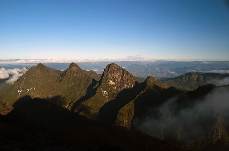
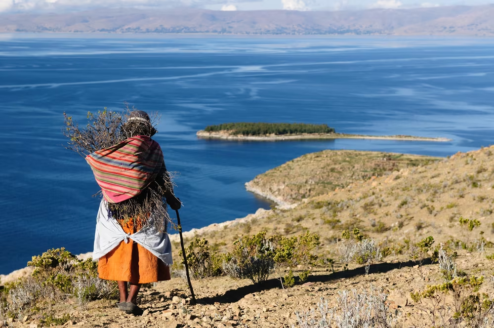
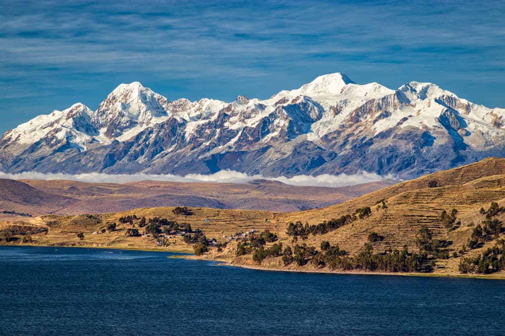
The Cordillera Real - Cordillera Real - is part of the Andes located in the Bolivian altiplano, northeast of La Paz and east of Lake Titicaca. Its highest peaks reach over 6000 meters and remain to this day little explored and frequented. All the ingredients are there for seasoned lovers of mountains and vast wild spaces who love getting off the beaten path.
From the northwestern part of the cordillera, this demanding altitude trek immerses the hiker in preserved Bolivian soul while revealing some of the most beautiful mountain landscapes in the country.
The stages of your journey
Highlights
Day-by-day itinerary
La Paz - Sorata
We depart in the morning towards Lake Titicaca and the north of the La Cordillère Royale, then we descend to the village of Sorata, nestled at the bottom of a lush valley at the foot of the Illampu and Ancohuma massifs.
Free afternoon in the magnificent tree-lined park of the Ecolodge Altai Oasis.
Sorata - Laguna Chilata
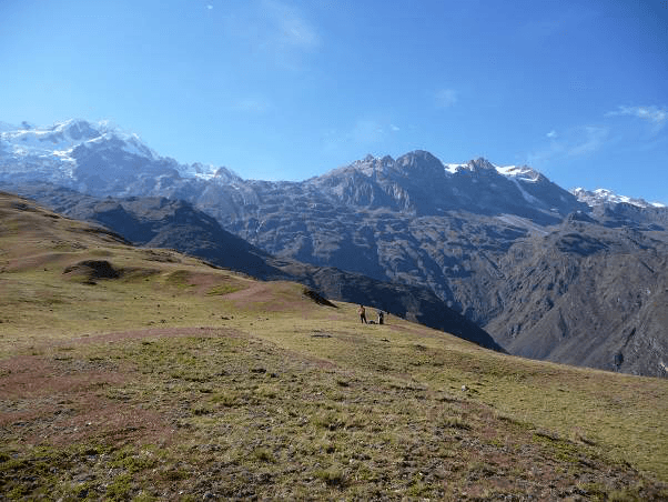
We start our trek from Sorata along a well-marked trail that climbs, to the south-east, through hamlets and cultivated areas. Gradually the majestic massif of the Illampu reveals itself more and more and would almost make us forget the significant elevation gain of the day. Almost! 1525 m higher up, here is the Laguna Chilata, nestled on a small plateau overlooking the Sorata valley. Bivouac on the shores of the lake.
Departure: 8:00 AM
Walking time: 6 to 7 hours
Elevation gain: +1525m
Laguna Chilata - Laguna Glaciar - Campo Venado
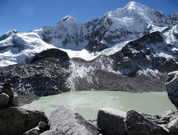
We take a trail that climbs toward the southeast, crosses a gap at 4400 m altitude, then runs along a contour line on the western slope of the Illampu and Ancohuma massifs. We continue with a steep climb through rocks to reach the Laguna Glaciar (5045 m) where a huge glacial tongue comes to drown. The main peak of Illampu, a monster of ice, dominates a rocky ridge that is both splendid and frightening. After the lake, we descend off-trail through rocky chaos toward the southwest to Venado camp.
Departure: 8:00 AM
Walking time: 6 to 7 hours
Elevation gain: +900m/-800m
Campo Venado - Mina Susana - Lojena
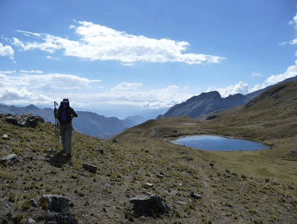
Our hike starts on a balcony trail along the mountainside heading south to a pass at 4350 m altitude. This pass overlooks a wide valley where the mina Susana (4030 m) is located, a network of silver and tin mines. We continue with a descent on a track that offers views of the galleries carved by miners into the mountain. Before descending to the village of Millipaya (3475 m), we cross a stream to drop down, heading due south, to the other side of the valley, then we climb on a trail along the mountainside until we reach Khota Pata lake (4052 m). The trail continues south, passes by several other small lakes and leads to the location Lojena, ideal for setting up camp above the Millipaya valley.
Departure: 8:00 AM
Hiking time: 6 to 7 hours
Elevation gain: +670m/-610m
Lojena - San Francisco Lagoon
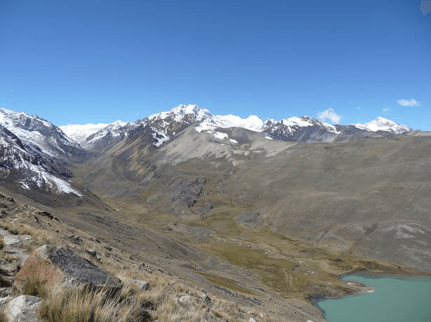
The trail continues along the mountainside with alternating climbs and descents. We can clearly observe Lake Titicaca in the distance. A final climb takes us to the Chotanlona pass (4,910 m) which opens onto the Illampu, Ancohuma and even the Chearoco massifs, not to mention the Kasiri and Calzada glaciers… We then descend eastward into the lovely valley hosting the turquoise San Francisco lake near which there are hot springs that encourage bathing. Bivouac on the shores of the lake.
Departure: 8:00 AM
Hiking time: 5 to 6 hours
Elevation gain/loss: +700m/-540m
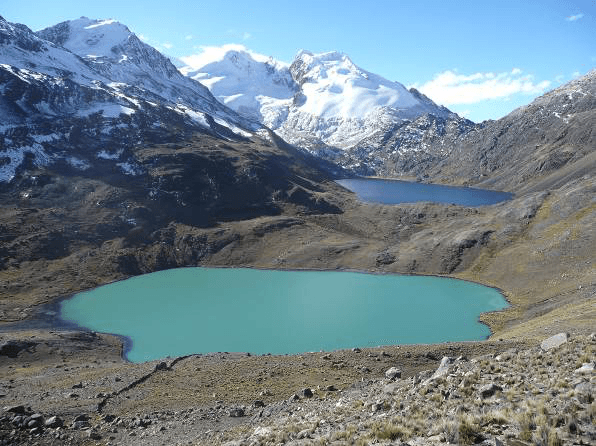
Laguna San Francisco - Laguna Chojna Khota
Laguna San Francisco → Laguna Chojna Khota
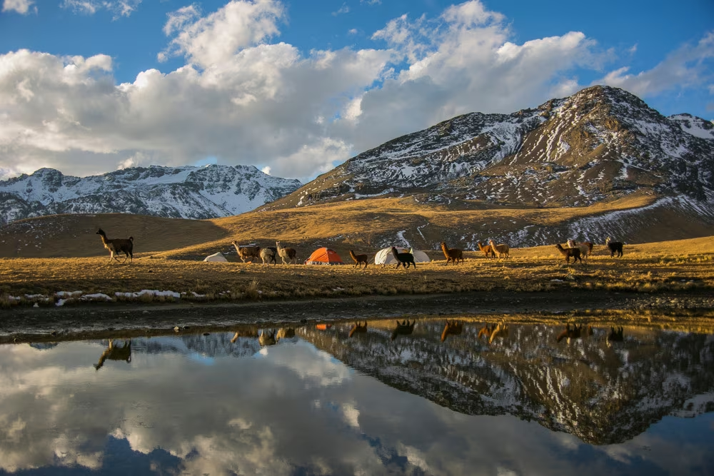
Today's program includes crossing 2 passes that reach nearly 5000 m altitude. The route heads south-east towards Lake Ajoyan, above Lake Cacha, at around 4780 m altitude. Then it climbs north-west to the bottom of the valley where two turquoise blue lakes are located, Lake Chojña Khota (4720 m) and Carizal (4767 m), at the foot of the Calzada pass and its eponymous summit (5650 m). Camping by the lake, in one of the most beautiful "camping areas" of the Royal Cordillera!
Departure: 8:00 AM
Walking time: 6 to 7 hours
Elevation gain: +760m/-510m
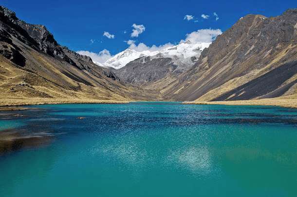
Laguna Chojna Khota - Laguna Jistaña Khota
Laguna Chojna Khota → Laguna Jistaña Khota
For the morning, we have two possible choices: relax in the sun on the shores of the lake or visit the Calzada pass. In the latter case, we climb towards Lake Carizal then follow its right bank and continue northeast to the Calzada pass (5050 m), wedged between the Kasiri and Calzada massifs, culminating at 5857 m and 5650 m respectively. We retrace our steps to Laguna Chojña Khota.
After lunch, the afternoon objective is to reach the shores of Lake Jistaña Khota for the evening bivouac. To do this, we head south to cross a pass located at 5100 m altitude. We finish with a long descent into the valley to the edge of the lake. Throughout the route, the trail is nothing but dust and the landscape a palette of gray tones!
Departure: 10:00
Walking time: 3 to 4 hours
Elevation gain: +350m/-510m
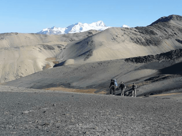
Laguna Jistaña Khota - Laguna Chiscacalliuani
We set off along the mountainside, heading due west, then turn south towards the small lake of Niquioyo Khota (4672 m), dominated to the east by Condor Jipina (5315 m). The balcony trail continues southeast and offers a wide panorama of the Altiplano and Lake Titicaca. We then undertake a series of climbs and descents to cross two passes, the first at 4950 m altitude, the second at 5000 m. To finish the day, we descend through steep scree to reach a valley that shelters the lovely small green lake of Chiscacalliuani.
Departure: 8:00 AM
Walking time: 7 hours
Elevation gain: +840m/-580m
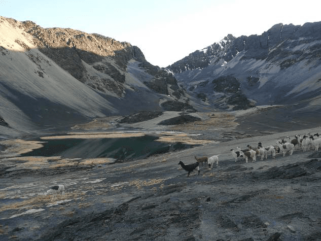
Laguna Chiscacalliuani - Rio Chacha Kumani - Rio Pura Purani - Jayllawaya Valley
Laguna Chiscacalliuani → Vallée Jayllawaya
Full southward departure to reach the Chacha Kumani valley (4430 m) : it is a wide marshy valley that leads to the foot of the glacier massif of the same name. After crossing the bofedals (marshy area dotted with giant water-soaked mosses), we climb this valley to the north-east, crossing several successive plateaus up to a pass located at 5000 m altitude. As we gain altitude, the view opens up onto the impressive Chachacomani glacier (6074 m). After the pass, we descend rapidly into the Pura Purani valley. We continue to the south-east along the slope to cross 3 small successive passes and reach the Rio Jayllawaya valley (4480 m).
Departure : 8:00 AM
Walking time : 7 to 8 hours
Elevation gain : +900m/-1240m
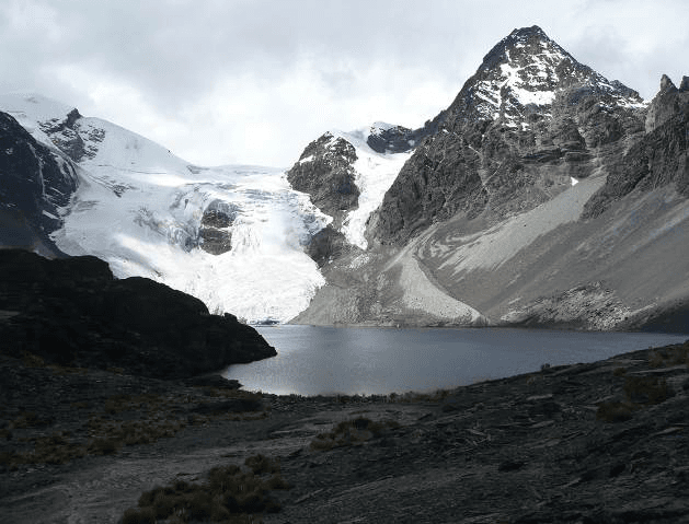
Jayllawaya Valley - Laguna Wara Warani - Kunu Pampa - Laguna Khotia
Vallée Jayllawaya → Laguna Khotia
The day begins with a steep climb to the upper plateau leading to Wara Warani lake (4620 m). Then the progression becomes more gradual along the stream to the bottom of the valley, heading northeast. We cross a rocky ridge to reach the level of Wara Warani lake (4930 m). This lake is nestled at the foot of the Wara Warani glacier and is divided into two parts of different colors. The glacier drops into a small lake with turquoise waters, while the other part of the lake offers water of an intense blue. Very surprising and magical! After contemplating the beauty of the place, we must skirt the lake to the right and climb southeast towards a steep pass (5050 m) overlooking the Kunu Pampa glacier.
We descend into a rocky scree, along the glacial tongue, and arrive in an isolated valley, at around 4760 m altitude. After crossing this valley, we continue southeast, where one last obstacle presents itself: the Minchin pass (or col) (5000 m). Once the pass is crossed, we descend easily to Khotia lake (4450 m).
Departure: 8:00 AM
Walking time: 7 to 8 hours
Elevation gain: +810m/-840m
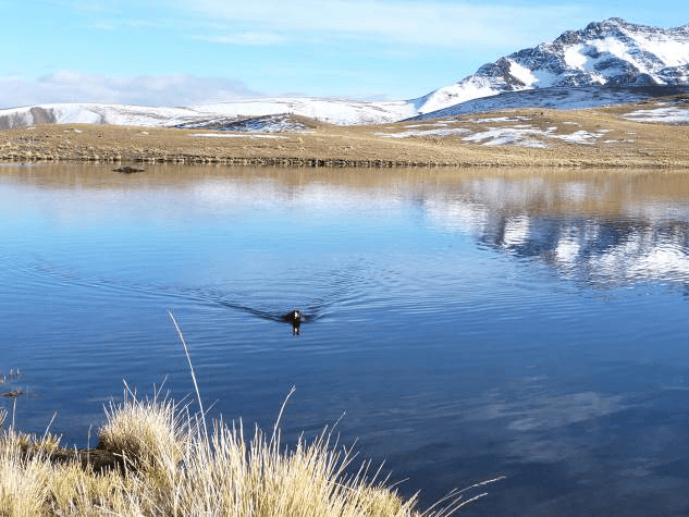
Laguna Khotia - Laguna Ajwani
From Laguna Khotia, the route to Laguna Chiarkhota is the most well-known in the Royal Cordillera. We start the day heading due south along the mountainside. We reach the Paso Contador pass (4760 m) which offers a beautiful view over a wide valley. Here you can observe a large lake named Alka Khota at the level of the old Palcoco mine. We then descend into the valley, cross a semi-marshy area, near laguna Surakhota (4410 m) and continue in a south-east direction. We then need to climb up the mountainside before reaching laguna Ajwani ("lake of birds").
Departure: 10:00 AM
Walking time: 5 hours
Elevation gain/loss: +550m/-385m
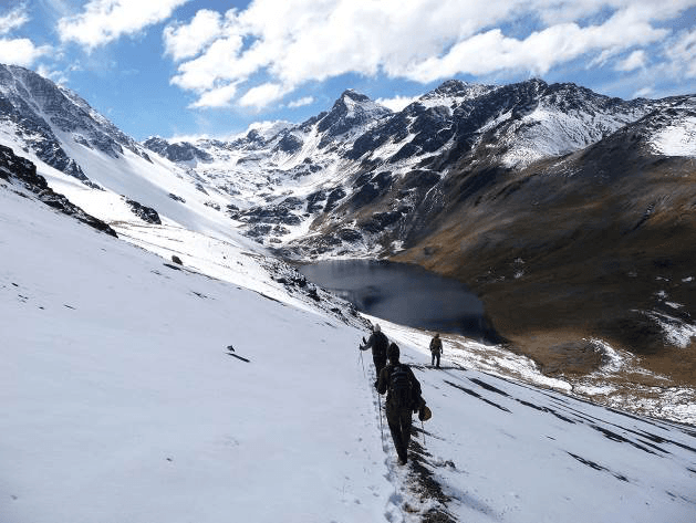
Laguna Ajwani - Laguna Jurikhota
Laguna Ajwani → Laguna Jurikhota
Laguna Ajwani is a beautiful lake where many ducks live. The place is very beautiful and peaceful. We start the day by walking southeast along the mountainside. We still have beautiful views of Ajawani lake before passing into the next valley. We then reach the Milluni pass located at 4910m altitude before descending to laguna Sistaña (4670m altitude). From the pass, we can observe Huayna Potosi and its famous west face. We continue southeast. We climb a second pass, Paso Janchallani located at 4885m altitude. We finally discover the Condoriri massif, one of the most beautiful glaciers in the Cordillera. We finish this day by descending to laguna Jurikhota (4700m altitude) nestled in a steep-sided valley.
Departure: 9am
Walking time: 4 hours
Elevation gain: +530m/-445m
The Head and Left Wing of the Condor overlook the lake. We can make out the path that runs along the lagoon on the left and climbs up through the moraine to the foot of the glacier. The views are magnificent! The next day promises to be splendid!
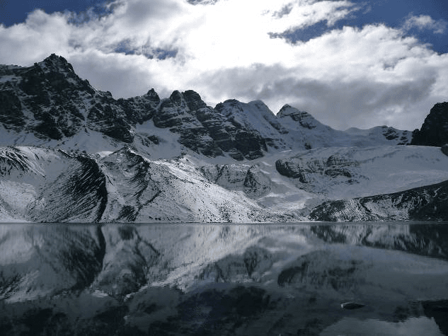
Laguna Jurikhota - Laguna Congelada - Paso Austria - Laguna Chiarkhota
Laguna Jurikhota → Laguna Chiarkhota
We start this day by skirting the lake, heading north-east, along its right bank to reach the moraine. Then we climb up the moraine to the Laguna Congelada (4880 m). The place is simply splendid. The Condoriri glacier ends its course in its turquoise waters. The vertical walls of the Left Wing and the Condor's Head appear frightening to us from our path.
After a break, we then head south-east to climb through the rocks on our right towards the pass. The climb is quite steep and sometimes requires the help of hands and a lot of caution. We arrive at the Austria Pass (5140 m). If we still have some strength left, it is recommended to make a detour via the Austria Peak (5300 m) before tipping into the next valley. This is the peak that dominates the pass on our right and faces Condoriri. You must tackle a steep climb through a scree field, but the effort is really worth it. This peak is a true viewpoint over Condoriri. The views are breathtaking over the glacial massif. All that's left is to descend south-east from the pass to reach the Laguna Chiarkhota (4680 m), base camp for Condoriri and Pequeño Alpamayo.
Departure: 9:00 AM
Walking time: 5 hours
Elevation gain: +480m/-500m
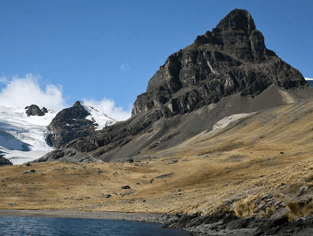
Laguna Chiarkhota - Laguna Wichu Khota
Laguna Chiarkhota → Laguna Wichu Khota
We head due east along the mountainside to reach the Jallayko Pass (5025 m) at the foot of the Black Needle. As we gain altitude, the Pequeño Alapmayo glacier comes into view. On the other side of the pass, the glaciers give way to a more mineral landscape. We then descend the next valley due south and, before reaching Laguna Tuni, we gain altitude again towards the southeast, on our left, reaching paso Tillipata (5000 m). The climb to the pass offers a beautiful perspective on the various lakes below and the imposing Huayna Potosi nearby, just behind the summit of Maria Lloco. We descend to the edge of Laguna Wichu Khota to set up camp.
Departure: 8:00 a.m.
Walking time: 7 hours
Elevation gain/loss: +845m/-845m
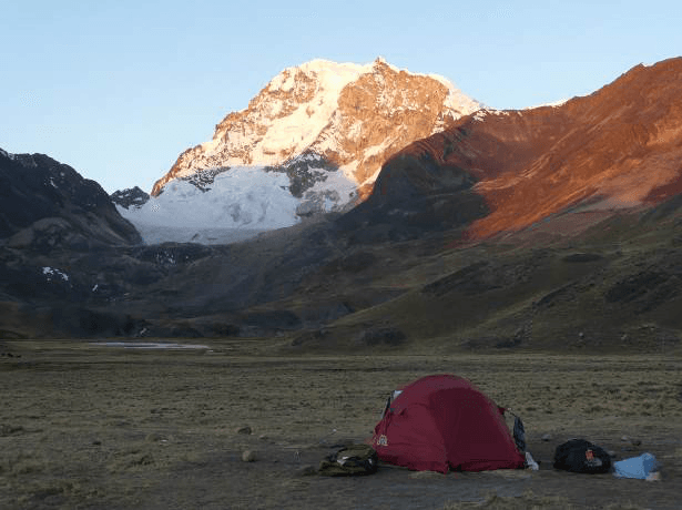
Laguna Wichu Khota - Campo Canal
Laguna Wichu Khota → Campo Canal
We walk in the middle of the lagoons before reaching the old Santa Fe mine camp. Then, the road continues southeast by a passable track. To make this day a bit more enjoyable, we can climb to a small summit to enjoy a panoramic view of the different lagoons. The path then continues along the passable track to the Campo Canal camp.
There, don't miss the hike to the Laguna Glaciar of the Huayna Potosi. We can climb in the direction of the glacier, northeast, by the right side of the valley. Let's gain some altitude and reach a canal that takes us to the lake at around 4905m elevation. We are then at the foot of the west face of the Huayna Potosi, a sheer drop of 900m to the main summit. Both splendid and frightening !
Departure: 9:00 AM
Walking time: 5 to 6 hours
Elevation gain: +220m/-220m
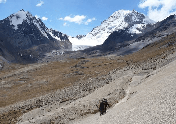
Campo Canal - Refuge Casa Blanca - La Paz
Campo Canal → Refuge Casa Blanca
We start our final pass climbing southeast towards the Paso Miluni (5000 m). Magnificent views of the west face of Huayna Potosi. We then go around the glacial massif to pass over its eastern side and reach the Casa Blanca refuge located at 4795 m altitude. Our journey ends here at the foot of Huayna Potosi. We can observe the normal climbing route and may feel like trying it!
Departure: 9:00 AM
Walking time: 4 hours
Elevation gain: +300m/-200m
Our journey completed, a vehicle awaits us to return to civilization in the city of La Paz.
Price per person
Indicative price per person, based on double room. Each trip is customized according to your preferences.
This trip can be tailored to your preferences
This itinerary provides an excellent foundation for discovery, but it can be fully customized. Our local advisors build each trip tailored to your budget, dates and preferences.
Not included
- Multi-risk assistance and repatriation insurance
- Individual equipment necessary for the smooth running of your stay
- The supplement for accommodation in a single room
- The international round-trip flight
- Tips intended for local teams
- Drinks as well as all personal extras
- The airport tax for domestic flights ($3 USD per person)
Included
- A hiking guide who is Spanish-speaking or English-speaking
- A trek guide assistant starting from 5 participants
- Private transportation mentioned in the program
- Accommodation at the Altai Oasis Hotel
- Meals described in the program
- A chef and an assistant chef from 5 participants
- Mountain and trekking collective equipment (tents, mess tents, catering, ropes, etc.)
- The portage of individual and collective equipment (llamas, mules, porters and high-altitude porters)
Practical Information
Registration is considered firm and final after payment of a deposit of 30% of the total price and acceptance of the specific terms of sale.
The balance must be paid no later than 45 days before the departure date.
See our specific terms of sale for full details.
In the event of cancellation by the traveller, the following fees apply:
- Plus de 60 jours avant le départ : 40 % du prix total (acompte retenu)
- Entre 60 et 30 jours avant le départ : 50 % du prix total
- Moins de 30 jours avant le départ : 100 % du prix total
We strongly recommend taking out cancellation insurance. See our specific terms of sale for full details.
The information below concerns travelers who are nationals of the European Economic Area (EEA), Switzerland and Canada traveling to Bolivia for a tourist stay. Since entry rules may change, we recommend that you verify this information with the official authorities before your departure.
Passport
To enter Bolivia, your passport must be valid for a minimum of six months after your entry date into the country and must have at least one blank page for immigration stamps.
The document must be in good condition (no damaged, torn or altered pages).
Tourist stay without a visa
Nationals of the European Economic Area, Switzerland and Canada benefit from a visa exemption for tourist stays in Bolivia.
This exemption allows a stay of up to 90 days per year in Bolivian territory. This duration is calculated on a calendar year basis and generally cannot be exceeded without specific administrative procedures.
Authorities may also request:
an exit ticket from the territory (return or onward flight),
proof of sufficient financial resources for the duration of your stay.
Tourist card
Upon arrival in Bolivia, travelers may be asked to complete a tourist card or entry form issued by Bolivian immigration services, particularly when entering by land.
This document allows authorities to collect certain information necessary for entry into the territory:
passport information
purpose and duration of stay
address of first accommodation in Bolivia
It is advisable to keep this document throughout your stay, as it may be requested when leaving the territory.
Health and vaccinations
No vaccine is officially required to enter Bolivia from the EEA, Switzerland or Canada. However, vaccination against yellow fever is strongly recommended for travelers going to tropical lowland regions (Amazon, Beni and Santa Cruz departments).
It is also recommended to inquire about the risks associated with malaria in certain rural areas and to take appropriate precautions. The high altitude of certain Bolivian destinations (La Paz, Potosí, Uyuni) can cause altitude sickness (soroche): a medical consultation before departure is recommended.
Travel with children
Minors must hold their own valid passport covering the duration of the stay.
In certain European countries, when a minor travels without one of their parents, an authorization to leave the territory may be required according to the regulations of the country of residence. Bolivian authorities may also request documents proving the family relationship or parental authorization.
Other nationalities
Entry conditions may vary depending on nationality. Travelers concerned should inquire with the embassy or consulate of Bolivia in their country of residence.
To take part in our trips, it is strongly recommended that you have assistance-repatriation and foreign medical expenses insurance.
Your local agency encourages you to review the specific policy developed with our partner CHAPKA ASSURANCES and AXA ASSISTANCE.
To subscribe to insurance, learn about coverage and rates, follow the link below.
CAP EXPLORER: The comprehensive insurance solution designed for a worry-free trip!
Choose the plan that best suits you:
Explorer'Multirisque
Explorer'Annulation
Explorer'Assistance
Explorer' Complémentaire Carte Bancaire
Specific to our trips, we strongly recommend subscribing to them.
If you choose to subscribe to one of these plans, the policy detailing all coverage and claim declaration procedures is available on the insurer's website.
Your local agency will be aware of it, but only the participant is responsible for complying with the claim declaration procedures. The participant must therefore keep this policy with them throughout their trip.
Chapka — Cap Explorer
Our insurance partnerTravel with peace of mind with our partner Chapka. Cancellation, repatriation, medical expenses, baggage… All the coverage for a worry-free trip.
Travel with peace of mind — I'll handle the insuranceFrequently asked questions
Visitors can stay in Bolivia visa-free with a passport valid for at least 6 months beyond entry. The exact authorized length of stay varies depending on your nationality. Before booking, check the entry requirements applicable to your nationality with the Bolivian consular authorities.
Go to the My Trips section to find all your projects.
You can send a message to your host directly from the Tea Lounge.
For a tailor-made quality trip, budget between 130 and 220 euros per day and per person, including accommodation, meals, internal transport and English-speaking guide. International flights (1000-1400 euros return) are additional. Bolivia remains one of the most affordable Andean destinations.
Your documents are accessible in the Documents tab of your trip.
Absolutely. We adapt each itinerary to match our travelers' profiles. For families, we prioritize relaxed paces, family-friendly accommodations, engaging and educational activities, and comfortable private transfers. Our English-speaking local guides know how to capture children's attention with age-appropriate anecdotes.
It's simple. You exchange with our local team to define your wishes, budget and dates. You receive a detailed itinerary proposal within 48 hours. You adjust every detail together until it's perfect. You confirm and travel with peace of mind. Your local agency remains available 7 days a week throughout your trip.
In case of emergency, contact your local agency immediately.
Payment is generally made in two installments.
Our agency is part of the Nomadays network, registered in France. You benefit from APST (Association Professionnelle de Solidarité du Tourisme) guarantee which covers 100% of your funds. Secure payment, repatriation insurance included, and English-speaking assistance 24/7 on the ground throughout your stay.
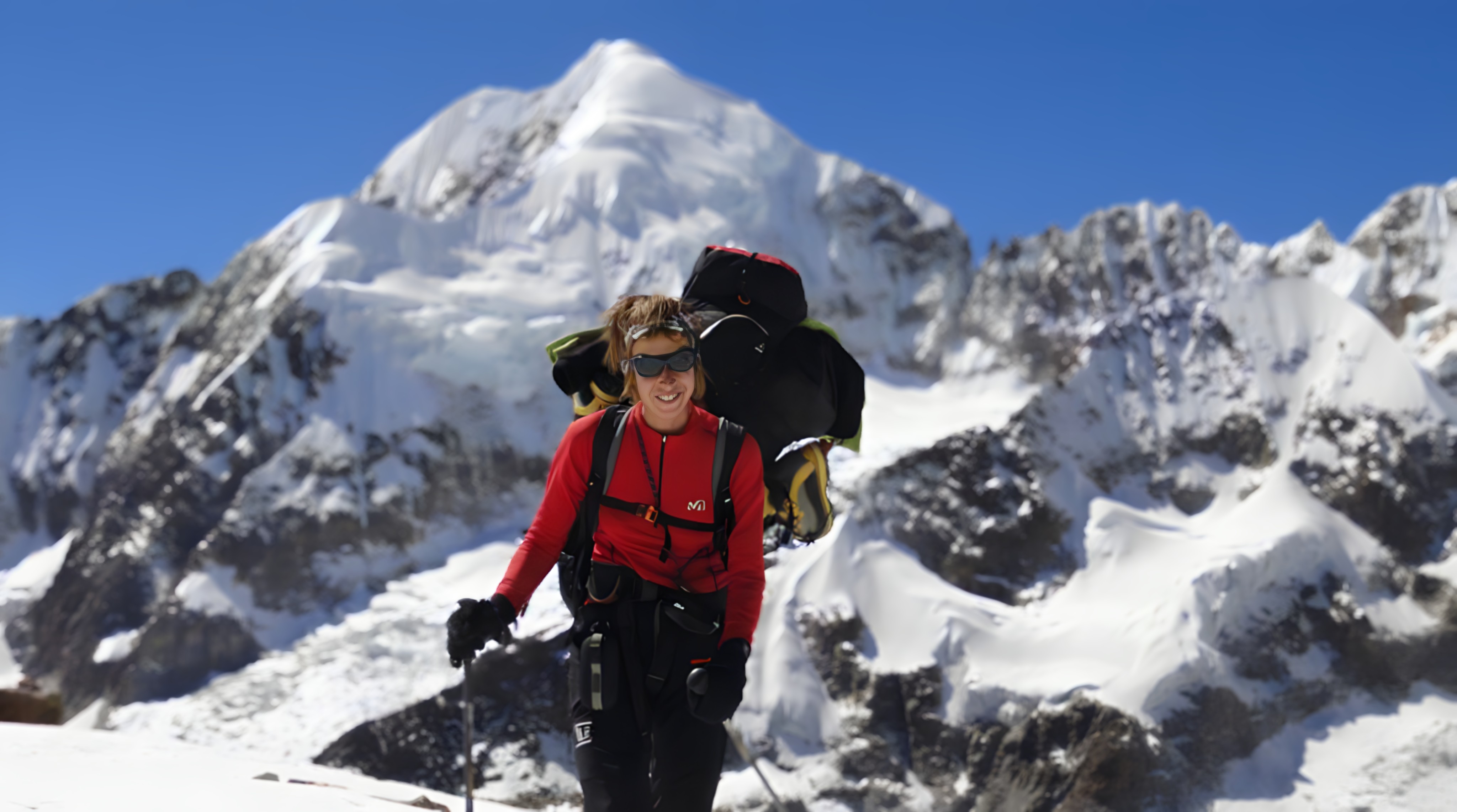
Let's talk about your adventure — Cordillera Real
Explorer of the Bolivian Andes, based in La Paz
In Bolivia, the mountain is more than just beautiful: it forces you to slow down, to breathe differently, and to find your true place.
— Anne